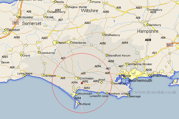
Dorset Map Showing Location of Whitcombe
Population: 14
District: West Dorset
Easting: 371744 Northing: 87212
Latitude: 50.68 Longitude: -2.4
 = Whitcombe
District: West Dorset
Easting: 371744 Northing: 87212
Latitude: 50.68 Longitude: -2.4
= Whitcombe
This Whitcombe map below is supplied by Google. Use the tools in the top left corner to zoom into street level or zoom out for a road map, you may also need to zoom in to see Whitcombe on the map. Click and drag the map to move around. If the map fails to load try and refresh your browser or zoom in or out (+ or -).
Update - it seems Google no longer allow people to use their maps for free! This Whitcombe map sometimes loads and sometimes gives a error. I am working on a solution.
Closest 30 Towns or Cities to Whitcombe (Population over 500)
Broadmayne 1.17km Preston 3.89km Dorchester 4.39km Upton 4.78km Bincombe 5.11km Overcombe 5.71km Osmington 6.04km Charminster 6.58km Puddletown 8.21km Piddletown 8.21km Weymouth 8.88km Winfrith Newburgh 10.1km Winfrith 10.1km Chickerell 10.23km West Chickerel 10.23km Bovington Camp 10.73km Piddletrenthide 11.18km Puddletrenthide 11.18km Portesham 11.89km Portisham 11.89km Milborne Saint Andrew 12.39km Milborne 12.39km Milborne St. Andrew 12.39km Milborne St Andrew 12.39km West Lulworth 12.91km Lulworth Cove 12.91km Wool 12.92km Cerne Abbas 13.8km Abbotsbury 14.21km Bere Regis 14.89km