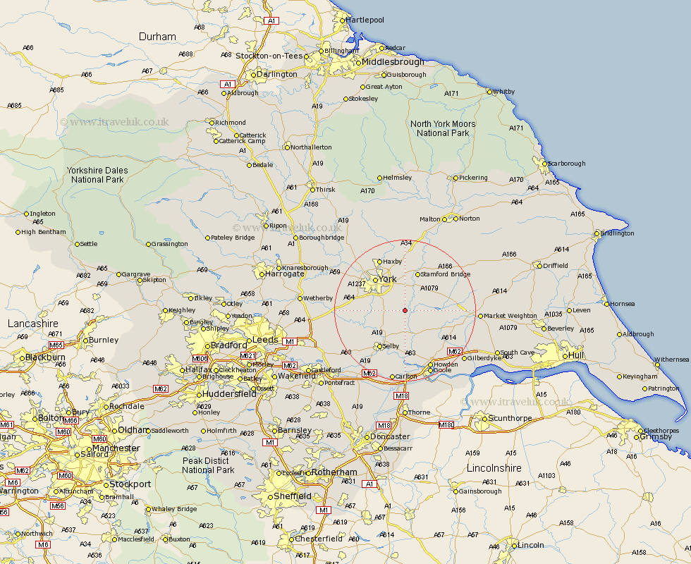
Yorkshire Map Showing Location of Wheldrake
Population: 1909
Easting: 467916 Northing: 443529
Latitude: 53.88 Longitude: -0.97
 = Wheldrake
Easting: 467916 Northing: 443529
Latitude: 53.88 Longitude: -0.97
= Wheldrake
This Wheldrake map below is supplied by Google. Use the tools in the top left corner to zoom into street level or zoom out for a road map, you may also need to zoom in to see Wheldrake on the map. Click and drag the map to move around. If the map fails to load try and refresh your browser or zoom in or out (+ or -).
Update - it seems Google no longer allow people to use their maps for free! This Wheldrake map sometimes loads and sometimes gives a error. I am working on a solution.
Closest 30 Towns or Cities to Wheldrake (Population over 500)
Sutton 4.95km Sutton upon Derwent 4.95km Escrick 5.46km Melbourne 7.65km Riccall 7.8km Bubwith 8.1km Heslington 8.61km Acaster Malbis 8.93km Wilberfoss 9.21km Bishopthorpe 10.35km Bishopthorne 10.35km Seaton Ross 10.51km Barmby 11.29km Barmby on the Moor 11.29km Barmby-on-the-Moor 11.29km Cawood 11.3km Wistow 11.46km Copmanthorpe 11.53km Stamford Bridge 11.59km York 12.02km Fangfoss 12.74km Clifton 12.74km New Earswick 12.9km Selby 12.91km Hemingbrough 13.01km Cliffe Common 13.01km Cliff Common Station 13.01km Huntington 14.08km Earswick 14.08km Holme 14.25km