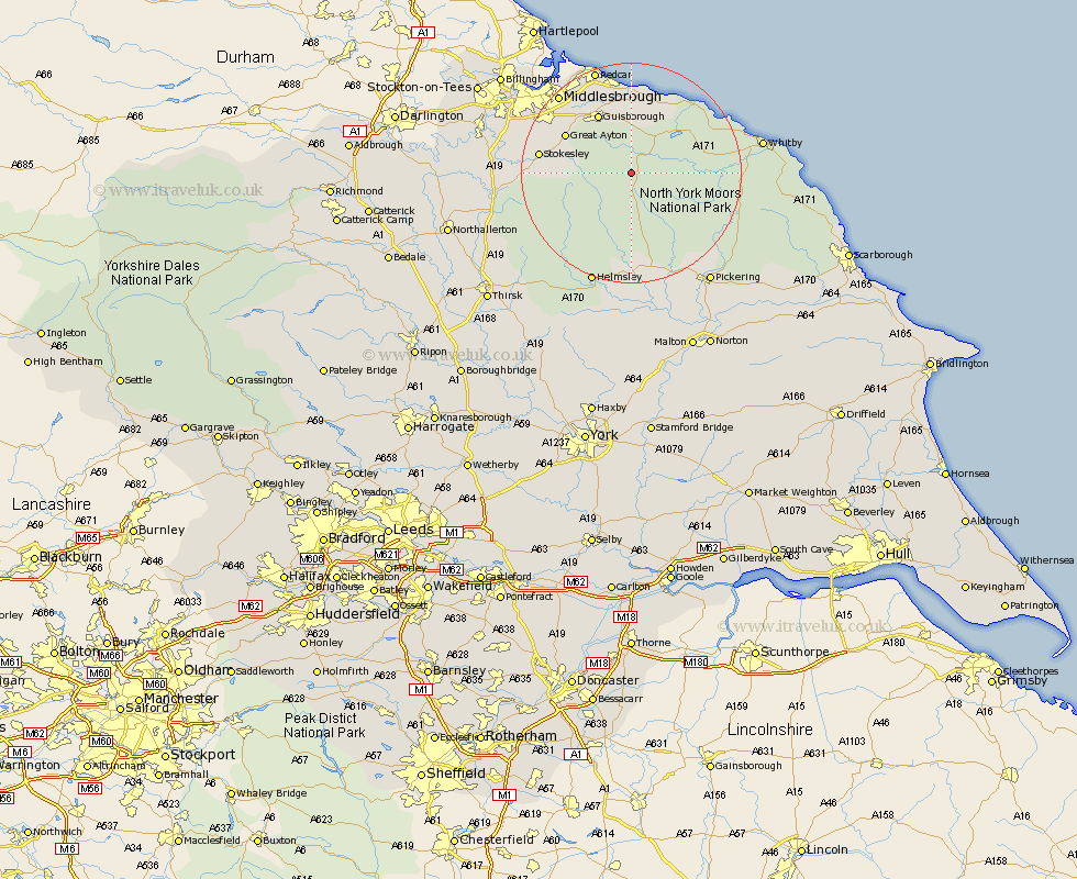
Yorkshire Map Showing Location of Westerdale
Population: 175
District: Scarborough
Easting: 467021 Northing: 504715
Latitude: 54.43 Longitude: -0.97
 = Westerdale
District: Scarborough
Easting: 467021 Northing: 504715
Latitude: 54.43 Longitude: -0.97
= Westerdale
This Westerdale map below is supplied by Google. Use the tools in the top left corner to zoom into street level or zoom out for a road map, you may also need to zoom in to see Westerdale on the map. Click and drag the map to move around. If the map fails to load try and refresh your browser or zoom in or out (+ or -).
Update - it seems Google no longer allow people to use their maps for free! This Westerdale map sometimes loads and sometimes gives a error. I am working on a solution.
Closest 30 Towns or Cities to Westerdale (Population over 500)
Ingleby 8.62km Guisborough 12.35km Skelton-in-Cleveland 13.02km Skelton 13.02km Great Broughton 13.07km Great Ayton 13.08km Loftus 14.05km Brotton 14.99km Stokesley 15.54km Eston 15.57km Seamer 16.58km Saltburn-by-the-Sea 16.72km Saltburn by the Sea 16.72km Saltburn 16.72km Hinderwell 17.05km Marske by the Sea 18.04km Marske 18.04km Marske-by-the-Sea 18.04km Whorlton 18.42km Kirkby Moorside 18.65km Kirby Moorside 18.65km Middlesborough 18.98km Middlebrough 18.98km Middlesbrough 18.98km South Bank on Tees 18.98km South Bank 18.98km South Bank in Normanby 18.98km South Bank-on-Tees 18.98km Sleights 19.49km Middleton upon Leven 19.75km