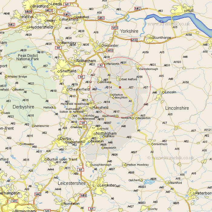
Nottinghamshire Map Showing Location of West Drayton
Population: 322
District: Bassetlaw
Easting: 471134 Northing: 374973
Latitude: 53.27 Longitude: -0.93
 = West Drayton
District: Bassetlaw
Easting: 471134 Northing: 374973
Latitude: 53.27 Longitude: -0.93
= West Drayton
This West Drayton map below is supplied by Google. Use the tools in the top left corner to zoom into street level or zoom out for a road map, you may also need to zoom in to see West Drayton on the map. Click and drag the map to move around. If the map fails to load try and refresh your browser or zoom in or out (+ or -).
Update - it seems Google no longer allow people to use their maps for free! This West Drayton map sometimes loads and sometimes gives a error. I am working on a solution.
Closest 30 Towns or Cities to West Drayton (Population over 500)
Elksley 2.22km Elkesley 2.22km Markham 3.81km East Markham 3.81km Grove 4.31km Walesby 4.99km East Retford 5.56km Tuxford 6.48km Ollerton 7.85km Boughton 8.42km Hayton 9.52km Clarborough 9.52km North Leverton 9.54km Bampton 9.61km Rampton 9.61km Sutton 9.84km Ramskill 12.42km Ranskill 12.42km Edwinstowe 12.84km Worksop 13.8km Blyth 14.22km Everton 14.86km Mattersey 14.99km Gringley-on-the-Hill 14.99km Gringley on the Hill 14.99km Gringley 14.99km Clipstone 15.71km Warsop 16.22km Beckingham 16.24km Bilsthorpe 16.26km