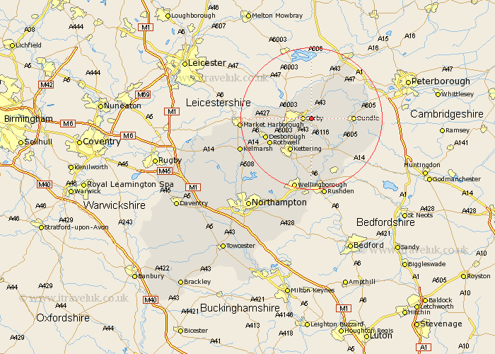
Northamptonshire Map Showing Location of Weldon
Population: 1644
District: Corby
Easting: 492797 Northing: 288183
Latitude: 52.48 Longitude: -0.63
 = Weldon
District: Corby
Easting: 492797 Northing: 288183
Latitude: 52.48 Longitude: -0.63
= Weldon
This Weldon map below is supplied by Google. Use the tools in the top left corner to zoom into street level or zoom out for a road map, you may also need to zoom in to see Weldon on the map. Click and drag the map to move around. If the map fails to load try and refresh your browser or zoom in or out (+ or -).
Update - it seems Google no longer allow people to use their maps for free! This Weldon map sometimes loads and sometimes gives a error. I am working on a solution.
Closest 30 Towns or Cities to Weldon (Population over 500)
Stanion 2.16km Corby 2.26km Brigstock 4.34km Gretton 6km Geddington 6.51km Caldecott 6.75km Cottingham 7.9km Kettering 10.85km Wilbarston 11.29km Oundle 11.29km Thrapston 11.48km Kings Cliffe 12.94km King's Cliffe 12.94km Islip 13.02km Rothwell 13.51km Rowell 13.51km Desborough 13.61km Woodford 13.74km Titchmarsh 13.75km Burton Latimer 14.99km Isham 15.5km Broughton 15.81km Ringstead 15.86km Warmington 15.91km Nassington 16.43km Finedon 16.68km Raunds 18.01km Irthlingborough 18.66km Stanwick 19.37km Higham Ferrers 20.66km