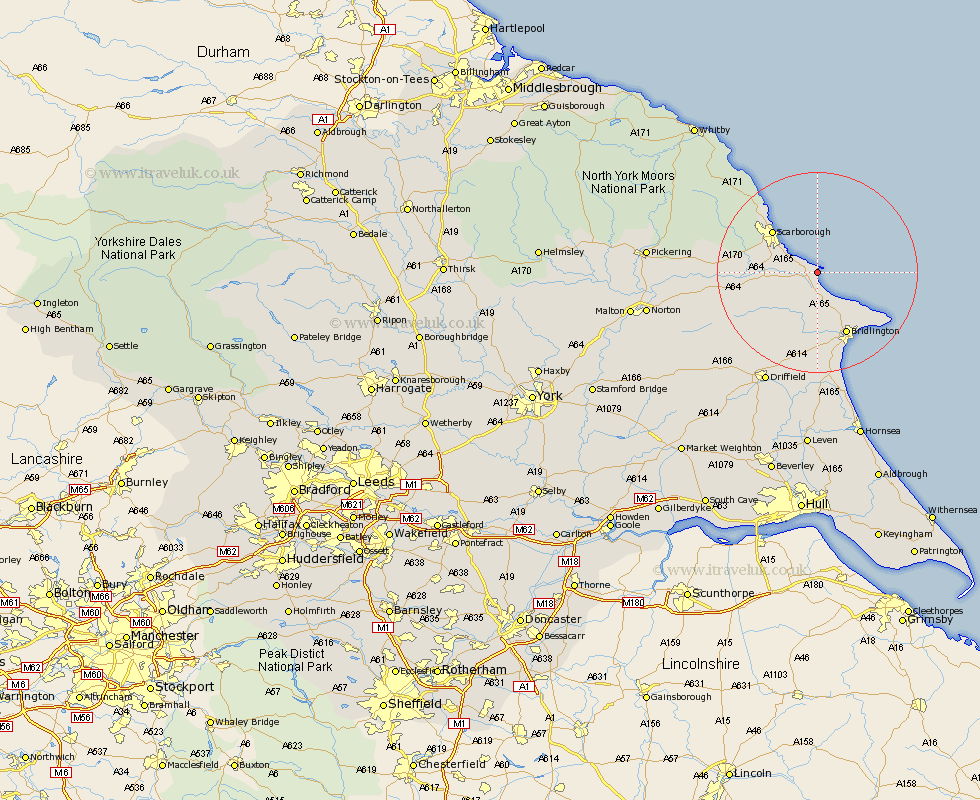
Yorkshire Map Showing Location of Filey
Population: 5887
Area Size (ha): 189
District: Scarborough
Easting: 511563 Northing: 480732
Latitude: 54.21 Longitude: -0.29
 = Filey
Area Size (ha): 189
District: Scarborough
Easting: 511563 Northing: 480732
Latitude: 54.21 Longitude: -0.29
= Filey
This Filey map below is supplied by Google. Use the tools in the top left corner to zoom into street level or zoom out for a road map, you may also need to zoom in to see Filey on the map. Click and drag the map to move around. If the map fails to load try and refresh your browser or zoom in or out (+ or -).
Update - it seems Google no longer allow people to use their maps for free! This Filey map sometimes loads and sometimes gives a error. I am working on a solution.
Closest 30 Towns or Cities to Filey (Population over 500)
Hunmanby 5.14km Cayton 5.67km Eastfield 7.66km Seamer 9.72km Willerby 10.88km Bempton 11.68km Scarborough 11.82km Scalby 12.42km Bridlington 13.84km Burniston 15.11km Great Driffield 15.42km Sherburn 15.57km Cloughton 16.6km Flamborough 16.61km Brompton 16.98km Kilham 18.49km Snainton 19.14km Yedingham 21.33km Nafferton 22.36km Driffield 24.48km Beeford 27.09km Skipsea 27.46km Rillington 27.56km Fylingdales 27.91km Thornton-le-Dale 27.91km Thornton Dale 27.91km Dunnington 29.02km Wetwang 29.54km North Frodingham 29.87km Cranswick 30.4km