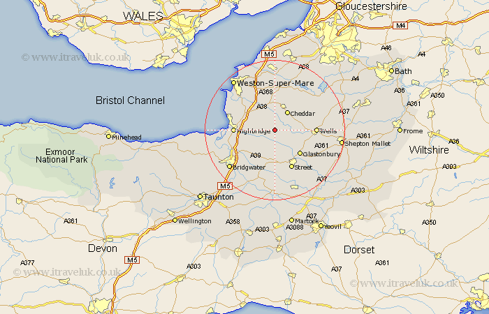
Somerset Map Showing Location of Wedmore
Population: 2178
Area Size (ha): 59
District: Sedgemoor
Easting: 342967 Northing: 146763
Latitude: 51.22 Longitude: -2.82
 = Wedmore
Area Size (ha): 59
District: Sedgemoor
Easting: 342967 Northing: 146763
Latitude: 51.22 Longitude: -2.82
= Wedmore
This Wedmore map below is supplied by Google. Use the tools in the top left corner to zoom into street level or zoom out for a road map, you may also need to zoom in to see Wedmore on the map. Click and drag the map to move around. If the map fails to load try and refresh your browser or zoom in or out (+ or -).
Update - it seems Google no longer allow people to use their maps for free! This Wedmore map sometimes loads and sometimes gives a error. I am working on a solution.
Closest 30 Towns or Cities to Wedmore (Population over 500)
Priddy 5.08km Weare 5.68km Mark 5.8km Meare 6.03km Cheddar 6.56km Rodney Stoke 6.88km Westbury 7.2km Axbridge 7.5km Shipham 9.34km Shapwick 9.35km Ashcott 9.35km Wookey 9.47km Glastonbury 9.91km Cossington 10.18km Brent Knoll 11.08km Highbridge 11.61km Wells 11.61km Banwell 11.65km Walton 11.65km Huntspill 11.76km Puriton 11.84km Lympsham 11.87km Street 12.05km Burnham 12.9km Burnham-on-Sea 12.9km Burnham on Sea 12.9km Churchill 13.02km Sandford 13.02km Bleadon 13.11km Pawlett 13.3km