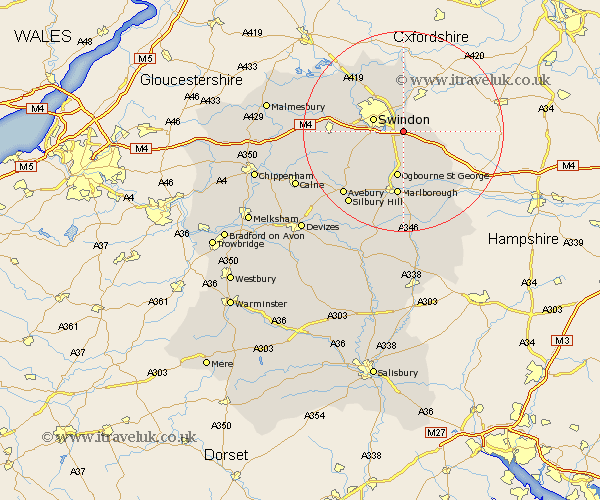
Wiltshire Map Showing Location of Wanborough
Population: 1762
Easting: 420806 Northing: 181695
Latitude: 51.53 Longitude: -1.7
 = Wanborough
Easting: 420806 Northing: 181695
Latitude: 51.53 Longitude: -1.7
= Wanborough
This Wanborough map below is supplied by Google. Use the tools in the top left corner to zoom into street level or zoom out for a road map, you may also need to zoom in to see Wanborough on the map. Click and drag the map to move around. If the map fails to load try and refresh your browser or zoom in or out (+ or -).
Update - it seems Google no longer allow people to use their maps for free! This Wanborough map sometimes loads and sometimes gives a error. I am working on a solution.
Closest 30 Towns or Cities to Wanborough (Population over 500)
Wanborough 0km Chiseldon 3.88km Bishopstone 4.61km Wroughton 6.05km Swindon 6.32km Stratton St. Margaret 6.55km Stratton St Margaret 6.55km Stratton 6.55km Stratton Saint Margaret 6.55km Baydon 8.88km Highworth 9.27km Aldbourne 9.39km Blunsdon Saint Andrew 10.14km Blunsdon 10.14km Blunsdon St Andrew 10.14km Blunsdon St. Andrew 10.14km Broad Hinton 10.77km Lydiard Millicent 12.11km Purton 12.79km Broad Town 12.8km Marlborough 13.02km Ramsbury 13.1km Wootton Bassett 13.83km Wooton Bassett 13.83km Cricklade 15.2km Lyneham 18.54km Ashton Keynes 19.58km Minety 19.61km Brinkworth 19.68km Bedwyn 19.78km