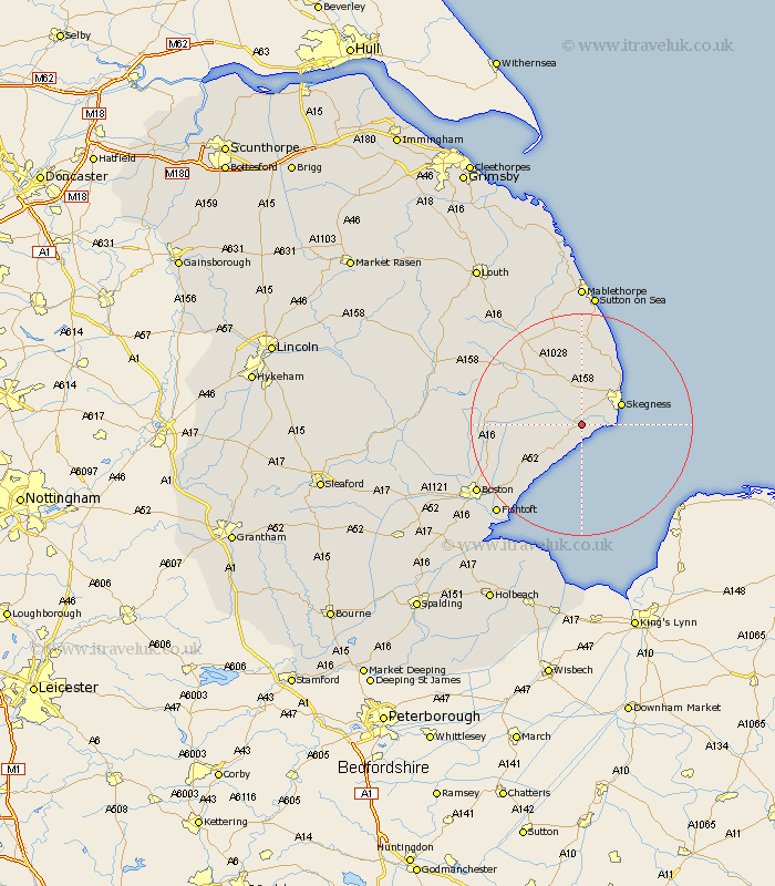
Lincolnshire Map Showing Location of Wainfleet
Population: 1534
District: East Lindsey
Easting: 550623 Northing: 358265
Latitude: 53.1 Longitude: 0.25
 = Wainfleet
District: East Lindsey
Easting: 550623 Northing: 358265
Latitude: 53.1 Longitude: 0.25
= Wainfleet
This Wainfleet map below is supplied by Google. Use the tools in the top left corner to zoom into street level or zoom out for a road map, you may also need to zoom in to see Wainfleet on the map. Click and drag the map to move around. If the map fails to load try and refresh your browser or zoom in or out (+ or -).
Update - it seems Google no longer allow people to use their maps for free! This Wainfleet map sometimes loads and sometimes gives a error. I am working on a solution.
Closest 30 Towns or Cities to Wainfleet (Population over 500)
Croft 3.7km Burgh le Marsh 5.56km Friskney 5.79km Skegness 7.63km Ingoldmells 10.8km Wrangle 11.59km Willoughby 13.4km Spilsby 13.63km Old Leake 13.65km Leake 13.65km Chapel St. Leonards 13.72km Chapel St Leonards 13.72km Chapel Saint Leonards 13.72km Stickney 15.69km Leverton 15.74km Huttoft 16.72km Benington 17.1km Bennington 17.1km Alford 17.26km Sibsey 17.26km Butterwick 17.85km Freiston 19.96km Frieston 19.96km Carrington 20.12km Frithville 20.33km Boston 22.05km Fishtoft 22.09km Mareham on the Hill 23.06km Mareham 23.06km Mareham-on-the-Hill 23.06km