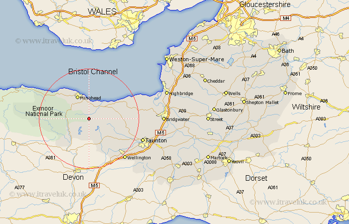
Somerset Map Showing Location of Treborough
Population: 42
District: West Somerset
Easting: 300854 Northing: 136280
Latitude: 51.12 Longitude: -3.42
 = Treborough
District: West Somerset
Easting: 300854 Northing: 136280
Latitude: 51.12 Longitude: -3.42
= Treborough
This Treborough map below is supplied by Google. Use the tools in the top left corner to zoom into street level or zoom out for a road map, you may also need to zoom in to see Treborough on the map. Click and drag the map to move around. If the map fails to load try and refresh your browser or zoom in or out (+ or -).
Update - it seems Google no longer allow people to use their maps for free! This Treborough map sometimes loads and sometimes gives a error. I am working on a solution.
Closest 30 Towns or Cities to Treborough (Population over 500)
Williton 3.95km Carhampton 7.41km Watchet 8.05km Stogumber 8.35km Minehead 10.36km Wiveliscombe 11.61km Dulverton 13.14km Brushford 13.79km Dunster 14.86km Milverton 16.1km Bishops Lydeard 17.22km Nether Stowey 17.83km Oake 18.78km Porlock 19.74km Norton Fitzwarren 20.81km Spaxton 20.94km Stokscourey 21.11km Stoke Courcy 21.11km Stogursey 21.11km Kingston 21.68km Wellington 21.77km Taunton 22.92km West Buckland 23.33km Otterhampton 24.4km Trull 24.66km Durleigh 25.59km West Monkton 26.66km Pitminster 26.8km North Petherton 27.99km Bridgwater 29.08km