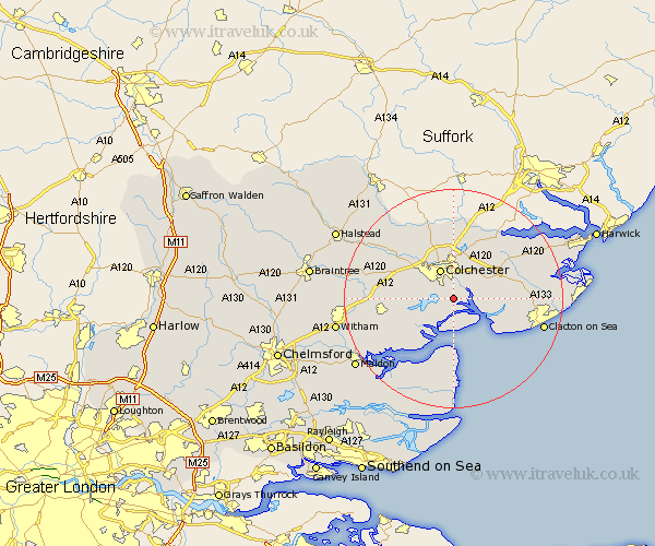
Essex Map Showing Location of Fingringhoe
Population: 783
District: Colchester
Easting: 602081 Northing: 219083
Latitude: 51.83 Longitude: 0.93
 = Fingringhoe
District: Colchester
Easting: 602081 Northing: 219083
Latitude: 51.83 Longitude: 0.93
= Fingringhoe
This Fingringhoe map below is supplied by Google. Use the tools in the top left corner to zoom into street level or zoom out for a road map, you may also need to zoom in to see Fingringhoe on the map. Click and drag the map to move around. If the map fails to load try and refresh your browser or zoom in or out (+ or -).
Update - it seems Google no longer allow people to use their maps for free! This Fingringhoe map sometimes loads and sometimes gives a error. I am working on a solution.
Closest 30 Towns or Cities to Fingringhoe (Population over 500)
Rowhedge 2.18km Peldon 2.94km Wyvenhoe 2.95km Wivenhoe 2.95km Winehoe 2.95km Alresford 3.9km Layer de la Haye 5.73km Colchester 6.01km Thorrington 7.12km West Mersea 7.75km Brightlingsea 7.81km Birch 8.02km Great Bromley 8.84km Copford 9.35km Great Bentley 9.35km Ardleigh 9.89km Marks Tey 10.95km St. Osyth 10.96km Saint Osyth 10.96km St Osyth 10.96km Tollesbury 11.54km West Bergholt 11.54km Tolleshunt Knights 11.72km Tolleshunt D'Arcy 11.79km Great Horkesley 12.02km Horkesley 12.02km Weeley 12.73km Boxted 13.03km Fordham 13.03km Lawford 13.07km