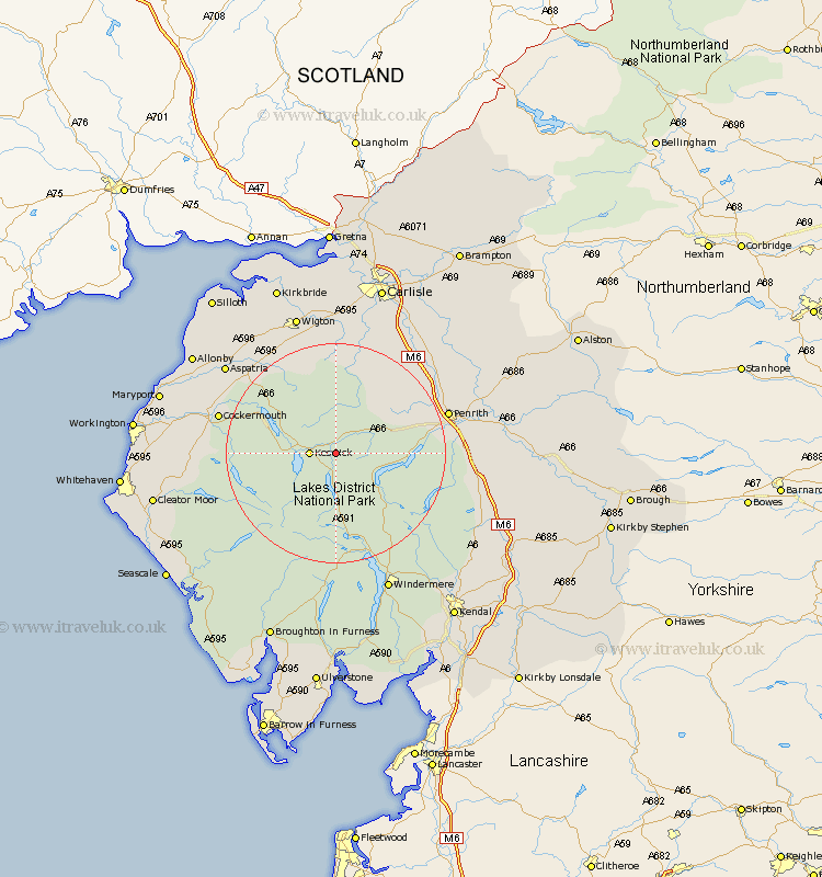
Cumbria Map Showing Location of Threlkeld
Population: 454
District: Eden
Easting: 332174 Northing: 523278
Latitude: 54.6 Longitude: -3.05
 = Threlkeld
District: Eden
Easting: 332174 Northing: 523278
Latitude: 54.6 Longitude: -3.05
= Threlkeld
This Threlkeld map below is supplied by Google. Use the tools in the top left corner to zoom into street level or zoom out for a road map, you may also need to zoom in to see Threlkeld on the map. Click and drag the map to move around. If the map fails to load try and refresh your browser or zoom in or out (+ or -).
Update - it seems Google no longer allow people to use their maps for free! This Threlkeld map sometimes loads and sometimes gives a error. I am working on a solution.
Closest 30 Towns or Cities to Threlkeld (Population over 500)
Koswick 4.3km Keswick 4.3km Greystoke 13.04km Dacre 14.08km Caldbeck 14.82km Hesket Newmarket 14.98km Skelton 16.21km Cockermouth 20.68km Westward 21.07km Ambleside 21.08km Bridekirk 22.38km Lamplugh 22.86km Brigham 24.25km Dean 24.69km Aspatria 24.7km Thursby 25.94km Conistan 25.96km Coniston 25.96km Hawkshead 26.14km Bromfield 26.24km Dalston 26.29km Langwathby 26.35km Shap 26.4km Wigton 26.73km Lazonby 26.95km Lasonby 26.95km Dearham 27.05km Windermere 27.33km Broughton Moor 28.37km Crosscanonby 28.76km