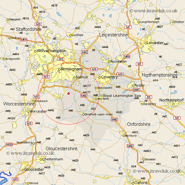
Warwickshire Map Showing Location of Tanworth
District: Stratford-on-Avon
Easting: 411359 Northing: 268788
Latitude: 52.32 Longitude: -1.83
 = Tanworth
Easting: 411359 Northing: 268788
Latitude: 52.32 Longitude: -1.83
= Tanworth
This Tanworth map below is supplied by Google. Use the tools in the top left corner to zoom into street level or zoom out for a road map, you may also need to zoom in to see Tanworth on the map. Click and drag the map to move around. If the map fails to load try and refresh your browser or zoom in or out (+ or -).
Update - it seems Google no longer allow people to use their maps for free! This Tanworth map sometimes loads and sometimes gives a error. I am working on a solution.
Closest 30 Towns or Cities to Tanworth (Population over 500)
Ullenhall 2.18km Henley in Arden 5.86km Lapworth 5.96km Studley 6.52km Wootton Wawen 8.69km Rowington 9.06km Aston Cantlow 9.55km Knowle 10.05km Claverdon 10.64km Great Alne 11.18km Alcester 11.35km Shrewley 11.48km Bearley 11.5km Snitterfield 11.5km Temple Balsall 11.61km Solihull 11.63km Hatton 12.6km Hampton in Arden 14.34km Berkeswell 16.44km Berkswell 16.44km Bickenhill 16.81km Kenilworth 17.39km Stratford upon Avon 17.39km Stratford 17.39km Stratford-on-Avon 17.39km Stratford-upon-Avon 17.39km Stratford on Avon 17.39km Warwick 17.4km Birmingham 17.61km Barford 18.39km