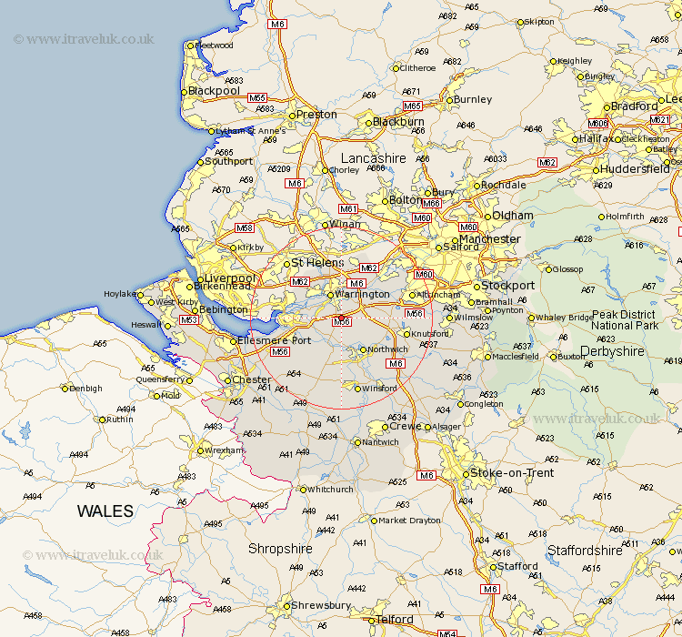
Cheshire Map Showing Location of Stretton
Population: 1009
Easting: 362267 Northing: 382000
Latitude: 53.33 Longitude: -2.57
 = Stretton
Easting: 362267 Northing: 382000
Latitude: 53.33 Longitude: -2.57
= Stretton
This Stretton map below is supplied by Google. Use the tools in the top left corner to zoom into street level or zoom out for a road map, you may also need to zoom in to see Stretton on the map. Click and drag the map to move around. If the map fails to load try and refresh your browser or zoom in or out (+ or -).
Update - it seems Google no longer allow people to use their maps for free! This Stretton map sometimes loads and sometimes gives a error. I am working on a solution.
Closest 30 Towns or Cities to Stretton (Population over 500)
Appleton 2.16km Preston-on-the-Hill 5.83km Preston Brook 5.83km Preston on the Hill 5.83km Warrington 5.98km Thelwall 6.48km Great Sankey 6.48km Sankey 6.48km Stockton Heath 7.06km Acton 7.73km Anderton 7.73km High Legh 7.97km Northwick 8.63km Marston 8.63km Northwich 8.63km Halton 9.04km Weaverham 9.33km Lymm 9.6km Risley 9.85km Kingsley 9.95km Lostock Gralam 9.95km Mere 9.96km Croft 11.17km Hartford 11.17km Widnes 11.22km Weston 11.22km Winwick 11.34km Cuddington 11.34km Davenham 11.61km Frodsham 11.67km