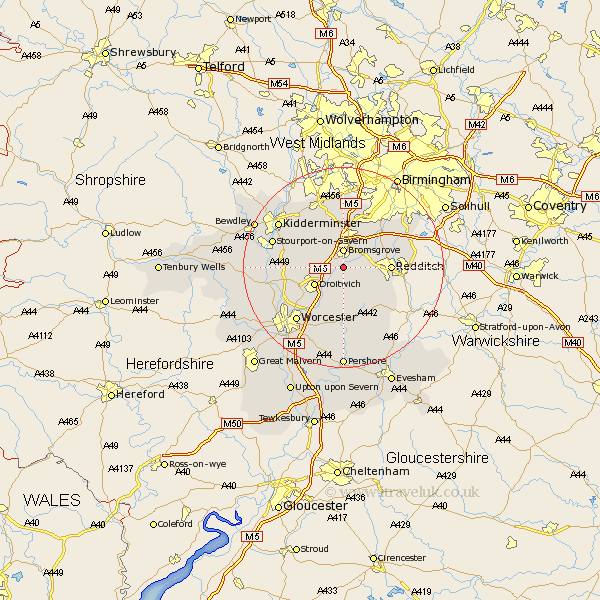
Worcestershire Map Showing Location of Stoke Prior
Population: 2804
District: Bromsgrove
Easting: 395454 Northing: 266920
Latitude: 52.3 Longitude: -2.07
 = Stoke Prior
District: Bromsgrove
Easting: 395454 Northing: 266920
Latitude: 52.3 Longitude: -2.07
= Stoke Prior
This Stoke Prior map below is supplied by Google. Use the tools in the top left corner to zoom into street level or zoom out for a road map, you may also need to zoom in to see Stoke Prior on the map. Click and drag the map to move around. If the map fails to load try and refresh your browser or zoom in or out (+ or -).
Update - it seems Google no longer allow people to use their maps for free! This Stoke Prior map sometimes loads and sometimes gives a error. I am working on a solution.
Closest 30 Towns or Cities to Stoke Prior (Population over 500)
Bromsgrove 3.7km Hanbury 3.87km Great Dodford 6km Dodford 6km Droitwich 6.77km Lickey 7.5km Lickey End 7.5km Barnt Green 7.94km Feckenham 7.94km Alvechurch 8.75km Chaddesley Corbett 8.78km Redditch 9.07km Radditch 9.07km Cofton Hackett 9.33km Coston Hackett 9.33km Astwood Bank 10.64km Beoley 11.48km Belbroughton 11.63km Crowle 11.63km Stone 11.71km Fernhill Heath 11.72km Hartlebury 11.92km Ombersley 11.93km Romsley 13.03km Inkberrow 13.04km Clent 13.41km Holt 13.66km Worcester 14.35km Grimley 14.51km Stourport 14.69km