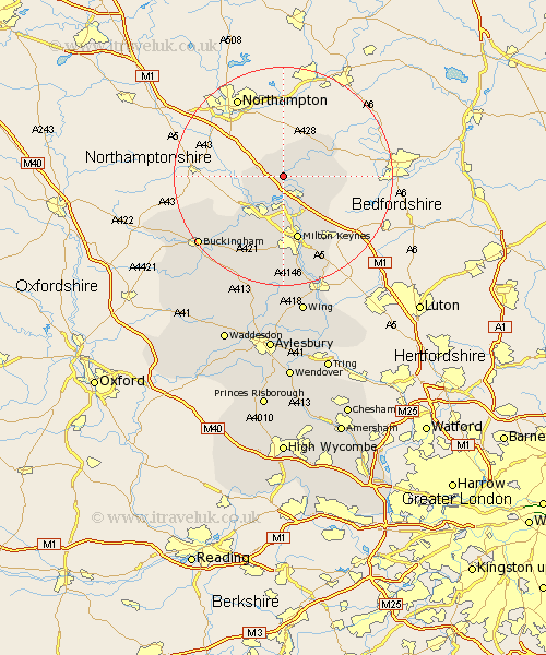
Buckinghamshire Map Showing Location of Stoke Goldington
Population: 572
Easting: 484438 Northing: 247249
Latitude: 52.12 Longitude: -0.77
 = Stoke Goldington
Easting: 484438 Northing: 247249
Latitude: 52.12 Longitude: -0.77
= Stoke Goldington
This Stoke Goldington map below is supplied by Google. Use the tools in the top left corner to zoom into street level or zoom out for a road map, you may also need to zoom in to see Stoke Goldington on the map. Click and drag the map to move around. If the map fails to load try and refresh your browser or zoom in or out (+ or -).
Update - it seems Google no longer allow people to use their maps for free! This Stoke Goldington map sometimes loads and sometimes gives a error. I am working on a solution.
Closest 30 Towns or Cities to Stoke Goldington (Population over 500)
Hanslope 3.89km Sherington 4.92km Newport Pagnell 5.04km Great Linford 5.68km Olney 5.87km Castlethorpe 5.88km Wolverton 8.16km North Crawley 8.79km Bradwell 9.34km Stony Stratford 9.35km Lavendon 9.71km Shenley 11.18km Shenley Church End 11.18km Simpson 12.02km Milton Keynes 12.09km Shenley Brook End 12.98km Wavendon 13.05km Bletchley 15.01km Woburn Sands 15.86km Bow Brickhill 16.33km Akeley 16.52km Newton Longville 16.68km Great Horwood 18.03km Thornborough 18.03km Stoke Hammond 18.85km Maids Moreton 18.85km Great Brickhill 19.39km Buckingham 19.69km Winslow 19.76km Stowe 20.39km