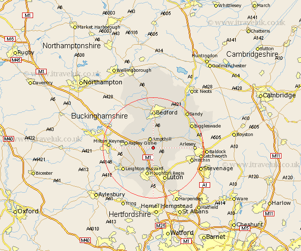
Bedfordshire Map Showing Location of Flitwick
Population: 10833
Area Size (ha): 263
District: Mid Bedfordshire
Easting: 504107 Northing: 234639
Latitude: 52 Longitude: -0.48
 = Flitwick
Area Size (ha): 263
District: Mid Bedfordshire
Easting: 504107 Northing: 234639
Latitude: 52 Longitude: -0.48
= Flitwick
This Flitwick map below is supplied by Google. Use the tools in the top left corner to zoom into street level or zoom out for a road map, you may also need to zoom in to see Flitwick on the map. Click and drag the map to move around. If the map fails to load try and refresh your browser or zoom in or out (+ or -).
Update - it seems Google no longer allow people to use their maps for free! This Flitwick map sometimes loads and sometimes gives a error. I am working on a solution.
Closest 30 Towns or Cities to Flitwick (Population over 500)
Flitton 2.28km Pulloxhill 2.94km Maulden 2.94km Westoning 3.7km Ampthill 3.88km Silsoe 4.56km Clophill 4.93km Houghton Conquest 5.68km Lidlington 5.88km Haynes 7.19km Marston Moretaine 7.19km Barton 7.19km Barton in the Clay 7.19km Gravenhurst 7.99km Wilstead 8.17km Wilshamstead 8.17km Wilhamstead 8.17km Willshamstead 8.17km Streatley 8.17km Toddington 8.17km Campton and Chicksands 8.8km Shillington 9.32km Woburn 9.32km Sundon 9.33km Wootton 9.54km Meppershall 10.27km Aspley Guise 10.43km Cranfield 10.9km Shefford 10.91km Kempston 11.12km