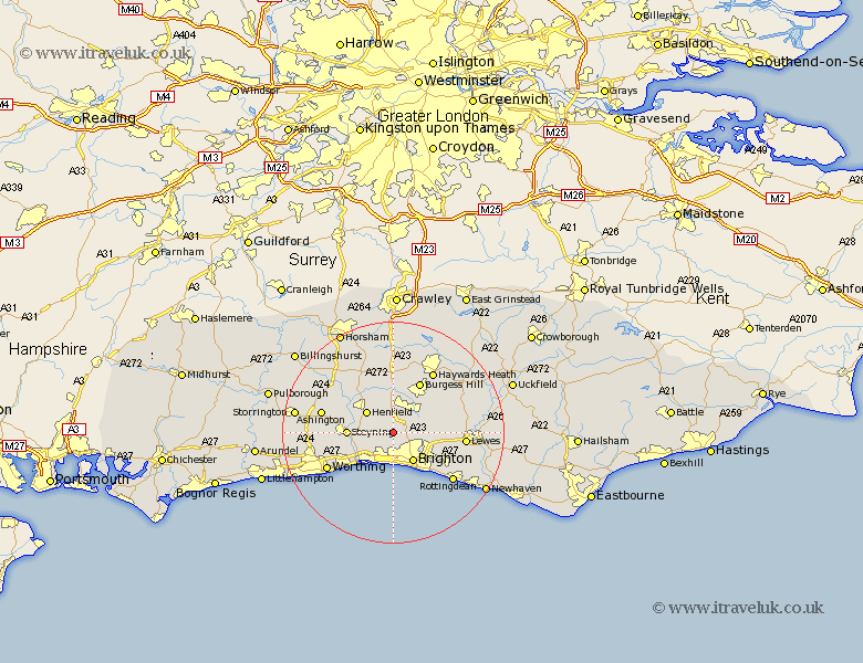
Sussex Map Showing Location of Poynings
Population: 287
District: Mid Sussex
Easting: 526605 Northing: 110917
Latitude: 50.88 Longitude: -0.2
 = Poynings
District: Mid Sussex
Easting: 526605 Northing: 110917
Latitude: 50.88 Longitude: -0.2
= Poynings
This Poynings map below is supplied by Google. Use the tools in the top left corner to zoom into street level or zoom out for a road map, you may also need to zoom in to see Poynings on the map. Click and drag the map to move around. If the map fails to load try and refresh your browser or zoom in or out (+ or -).
Update - it seems Google no longer allow people to use their maps for free! This Poynings map sometimes loads and sometimes gives a error. I am working on a solution.
Closest 30 Towns or Cities to Poynings (Population over 500)
Hurstpierpoint 4.39km Hove 5.68km Southwick 5.68km Portslade 5.68km Albourne 5.68km Henfield 5.97km Keymer 5.97km Hassocks 5.97km New Shoreham 6.03km Shoreham 6.03km Shoreham-by-Sea 6.03km Shoreham by Sea 6.03km Brighton 6.58km Ditchelling 7.94km Ditchling 7.94km Upper Bleeding 8.18km Upper Beeding 8.18km Bramber 8.18km Steyning 8.19km Burgess Hill 10.38km Plumpton 10.52km Wivelsfield 11.04km Bolney 11.12km Botney 11.12km North Lancing 11.94km Lancing 11.94km Cowfold 12.06km Sompting 12.87km Lewes 13km Baywards Heath 13.14km