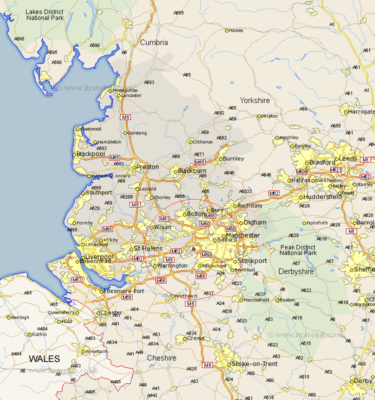
Lancashire Map Showing Location of Flixton
District: Trafford
Easting: 374545 Northing: 394901
Latitude: 53.45 Longitude: -2.38
 = Flixton
Easting: 374545 Northing: 394901
Latitude: 53.45 Longitude: -2.38
= Flixton
This Flixton map below is supplied by Google. Use the tools in the top left corner to zoom into street level or zoom out for a road map, you may also need to zoom in to see Flixton on the map. Click and drag the map to move around. If the map fails to load try and refresh your browser or zoom in or out (+ or -).
Update - it seems Google no longer allow people to use their maps for free! This Flixton map sometimes loads and sometimes gives a error. I am working on a solution.
Closest 30 Towns or Cities to Flixton (Population over 500)
Urmston 2.21km Irlam 2.89km Stretford 4.41km Eccles 4.97km Swinton 5.98km Walkden 7.5km Pendlebury 8.12km Salford 8.56km Tyldesley 9.24km Kearsley 9.26km Leigh 9.57km Atherton 10.7km Little Lever 11.17km Farnworth 11.17km Prestwich 11.38km Radcliffe 11.6km Manchester 12.35km Whitefield 12.41km Westhoughton 14.19km Golborne 14.46km Abram 15.17km Bolton 15.19km Droylsden 15.88km Droylesden 15.88km Hindley 16.15km Middleton 16.45km Chadderton 16.55km Bradshaw 16.72km Bromley Cross 16.72km Tottington 17km