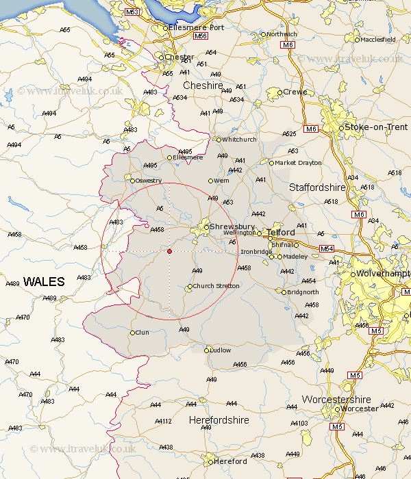
Shropshire Map Showing Location of Pontesbury
Population: 1926
Area Size (ha): 58
District: Shrewsbury and Atcham
Easting: 340247 Northing: 306212
Latitude: 52.65 Longitude: -2.88
 = Pontesbury
Area Size (ha): 58
District: Shrewsbury and Atcham
Easting: 340247 Northing: 306212
Latitude: 52.65 Longitude: -2.88
= Pontesbury
This Pontesbury map below is supplied by Google. Use the tools in the top left corner to zoom into street level or zoom out for a road map, you may also need to zoom in to see Pontesbury on the map. Click and drag the map to move around. If the map fails to load try and refresh your browser or zoom in or out (+ or -).
Update - it seems Google no longer allow people to use their maps for free! This Pontesbury map sometimes loads and sometimes gives a error. I am working on a solution.
Closest 30 Towns or Cities to Pontesbury (Population over 500)
Minsterley 3.85km Great Hanwood 5.82km Hanwood 5.82km Westbury 5.82km Ford 7.75km Alberbury 8.67km Condover 8.99km Baystonhill 9.18km Shelve 10.03km Bicton 10.29km Berrington 12.37km Church Stretton 12.46km Shrewsbury 12.54km Great Ness 13.03km Baschurch 14.86km Chirbury 15.41km Chirburg 15.41km Kinnerley 16.28km Hadnall 17.16km Cressage 18.09km Rushbury 18.61km Pant 19.29km West Felton 19.72km Rodington 20.22km Wistanstow 20.51km Lydbury North 20.87km North Lydbury 20.87km Shawbury 21.6km Wrockwardine 22.06km Ercall Magna 22.09km