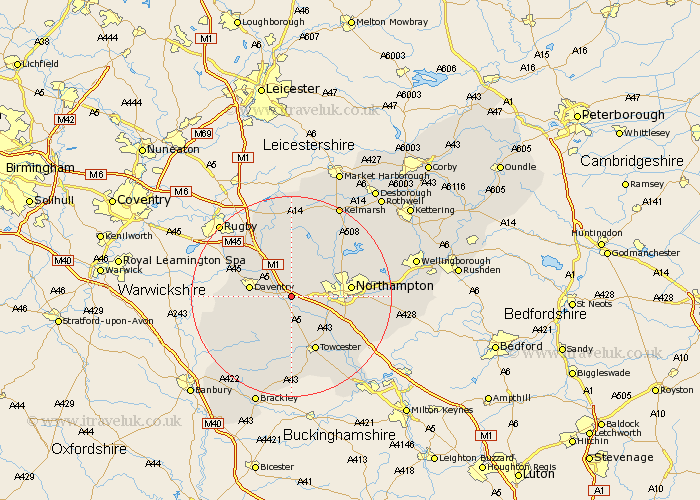
Northamptonshire Map Showing Location of Flore
Population: 1221
District: Daventry
Easting: 464871 Northing: 259929
Latitude: 52.23 Longitude: -1.05
 = Flore
District: Daventry
Easting: 464871 Northing: 259929
Latitude: 52.23 Longitude: -1.05
= Flore
This Flore map below is supplied by Google. Use the tools in the top left corner to zoom into street level or zoom out for a road map, you may also need to zoom in to see Flore on the map. Click and drag the map to move around. If the map fails to load try and refresh your browser or zoom in or out (+ or -).
Update - it seems Google no longer allow people to use their maps for free! This Flore map sometimes loads and sometimes gives a error. I am working on a solution.
Closest 30 Towns or Cities to Flore (Population over 500)
Weedon Beck 2.17km Weedon 2.17km Bugbrooke 4.35km Harpole 4.54km Kislingbury 5.97km Long Buckby 7.5km Pattishall 7.75km East Haddon 7.75km Daventry 8.16km Welton 8.79km Badby 9.27km Gayton 9.34km Milton 10.65km Blisworth 10.87km West Haddon 11.17km Spratton 11.5km Northampton 11.5km Boughton 11.62km Braunston 11.62km Guilsborough 11.62km Collingtree 11.64km Hardingstone 11.94km Towcester 12.02km Crick 12.48km Wootton 12.65km Pitsford 13.55km Kilsby 13.66km Brixworth 13.79km Barby 13.79km Byfield 14.53km