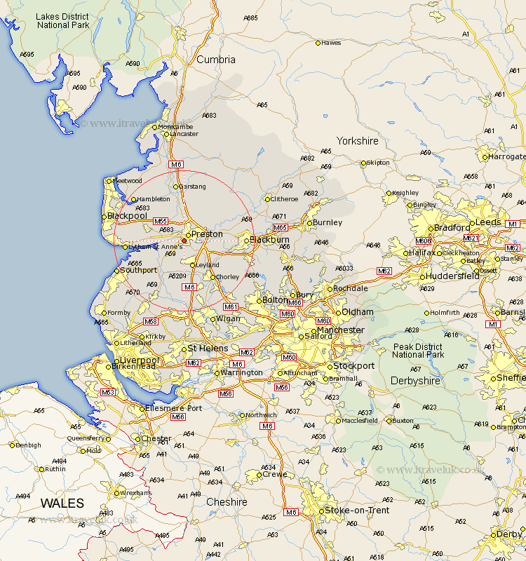
Lancashire Map Showing Location of Penwortham
Population: 23436
District: South Ribble
Easting: 351648 Northing: 428455
Latitude: 53.75 Longitude: -2.73
 = Penwortham
District: South Ribble
Easting: 351648 Northing: 428455
Latitude: 53.75 Longitude: -2.73
= Penwortham
This Penwortham map below is supplied by Google. Use the tools in the top left corner to zoom into street level or zoom out for a road map, you may also need to zoom in to see Penwortham on the map. Click and drag the map to move around. If the map fails to load try and refresh your browser or zoom in or out (+ or -).
Update - it seems Google no longer allow people to use their maps for free! This Penwortham map sometimes loads and sometimes gives a error. I am working on a solution.
Closest 30 Towns or Cities to Penwortham (Population over 500)
Penwortham 0km Preston 2.16km Hutton 2.87km Farrington 4.3km Farington 4.3km Lea 4.76km Lea Town 4.76km Woodplumpton 5.67km Longton 5.74km Much Hoole 7.08km Hoole 7.08km Barton 7.42km Broughton 7.42km Leyland 7.73km Samlesbury 7.89km Grimsargh 8.61km Goosnargh 8.61km Freckleton 8.77km Kirkham 9.51km Warton 10.03km Bretherton 10.25km Hoghton 10.54km Penrith 11.12km Croston 11.33km Inskip 11.36km Tarleton 11.36km Euxton 11.95km Heapey 12.03km Claughton 13.02km Claughton-on-Brock 13.02km