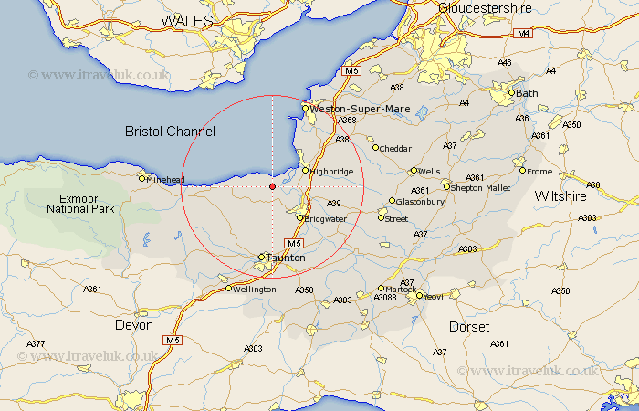
Somerset Map Showing Location of Otterhampton
Population: 873
District: Sedgemoor
Easting: 324291 Northing: 143289
Latitude: 51.18 Longitude: -3.08
 = Otterhampton
District: Sedgemoor
Easting: 324291 Northing: 143289
Latitude: 51.18 Longitude: -3.08
= Otterhampton
This Otterhampton map below is supplied by Google. Use the tools in the top left corner to zoom into street level or zoom out for a road map, you may also need to zoom in to see Otterhampton on the map. Click and drag the map to move around. If the map fails to load try and refresh your browser or zoom in or out (+ or -).
Update - it seems Google no longer allow people to use their maps for free! This Otterhampton map sometimes loads and sometimes gives a error. I am working on a solution.
Closest 30 Towns or Cities to Otterhampton (Population over 500)
Stogursey 3.48km Stokscourey 3.48km Stoke Courcy 3.48km Pawlett 5.81km Nether Stowey 6.89km Huntspill 7.21km Durleigh 7.76km Spaxton 7.76km Highbridge 7.9km Burnham on Sea 8.04km Burnham 8.04km Burnham-on-Sea 8.04km Puriton 8.34km Bridgwater 9.41km Bridgewater 9.41km North Petherton 10.36km Berrow 10.37km Brent Knoll 11km Brean 12.05km Cossington 12.2km Weston Zoyland 12.82km Kingston 13.17km Mark 13.3km Lympsham 14.49km Bishops Lydeard 14.72km West Monkton 15km Middlezoy 15.79km Bleadon 15.95km Stogumber 16.1km Taunton 16.84km