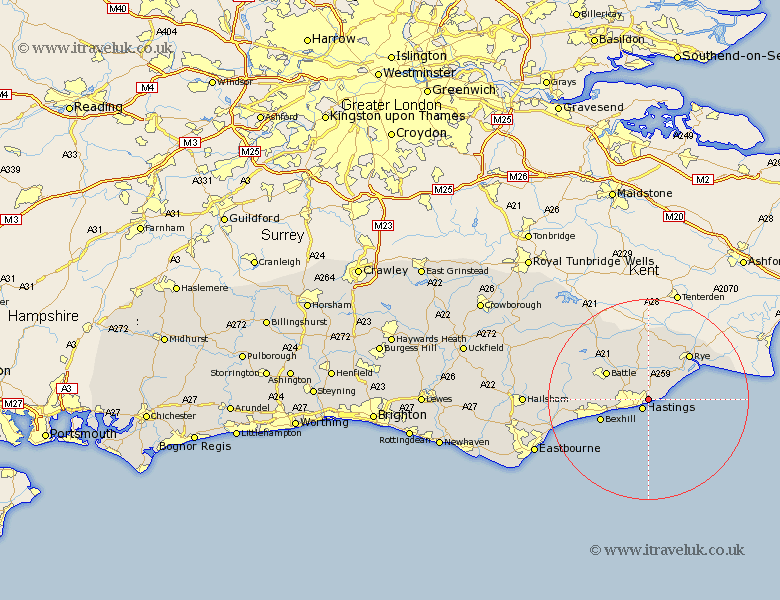
Sussex Map Showing Location of Ore
District: Hastings
Easting: 584105 Northing: 110790
Latitude: 50.87 Longitude: 0.62
 = Ore
= Ore
Easting: 584105 Northing: 110790
Latitude: 50.87 Longitude: 0.62
= Ore
This Ore map below is supplied by Google. Use the tools in the top left corner to zoom into street level or zoom out for a road map, you may also need to zoom in to see Ore on the map. Click and drag the map to move around. If the map fails to load try and refresh your browser or zoom in or out (+ or -).
Update - it seems Google no longer allow people to use their maps for free! This Ore map sometimes loads and sometimes gives a error. I am working on a solution.
Closest 30 Towns or Cities to Ore (Population over 500)
Fairlight 2.19km Guestling 2.19km Hastings 2.19km Pett 3.96km Westfield 5.1km Icklesham 5.1km Brede 5.68km Sedlescombe 8.07km Crowhurst 8.19km Battle 9.89km Bexhill 10.3km Beckley 11.18km Catsfield 11.84km Peasmarsh 12.06km Rye 12.36km Mountfield 12.86km Northiam 13.02km Ninfield 14.04km Robertsbridge 16.69km Hurst Green 18.17km Pevensey Bay 19.06km Etchingham 19.62km Hurstmonceaux 19.97km Herstmonceux 19.97km Hurstmonceux 19.97km Pevensey 20.14km Burwash 22.07km Ticehurst 23.23km Warbleton 24.52km Hailsham 24.56km