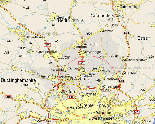
Hertfordshire Map Showing Location of Northaw
District: Welwyn Hatfield
Easting: 527833 Northing: 201810
Latitude: 51.7 Longitude: -0.15
 = Northaw
Easting: 527833 Northing: 201810
Latitude: 51.7 Longitude: -0.15
= Northaw
This Northaw map below is supplied by Google. Use the tools in the top left corner to zoom into street level or zoom out for a road map, you may also need to zoom in to see Northaw on the map. Click and drag the map to move around. If the map fails to load try and refresh your browser or zoom in or out (+ or -).
Update - it seems Google no longer allow people to use their maps for free! This Northaw map sometimes loads and sometimes gives a error. I am working on a solution.
Closest 30 Towns or Cities to Northaw (Population over 500)
Potters Bar 2.18km Cuffley 2.3km Brookmans Park 4.36km Essendon 5.56km North Mymms 7.14km Bishops Hatfield 7.51km Colney Heath 7.82km Cheshunt 8.04km Shenley 8.25km Hatfield 9.1km London Olney 9.37km London Colney 9.37km Borehamwood 9.78km Hertingfordbury 9.88km Radlett 11.64km Welwyn Garden City 11.64km Garden City 11.64km Hoddesdon 11.73km Elstree 11.81km Little Amwell 12.26km Hertford 12.51km Sandridge 12.72km Tewin 12.98km Great Amwell 13.04km Harmer Green 13.19km Ware 13.72km Saint Albans 13.8km St Albans 13.8km St. Albans 13.8km Aldenham 14.28km