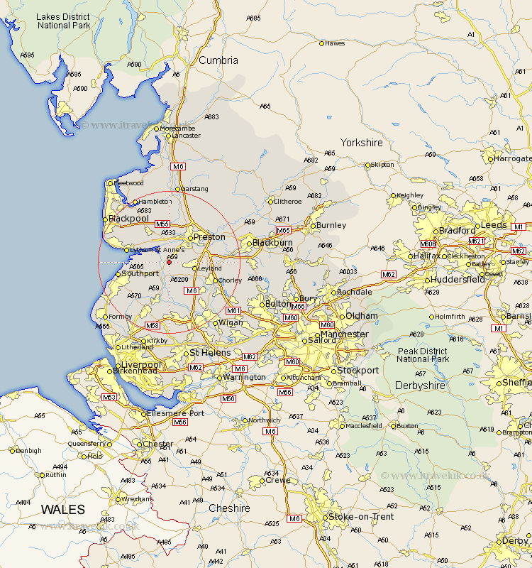
Lancashire Map Showing Location of Much Hoole
Population: 1851
District: South Ribble
Easting: 347189 Northing: 422940
Latitude: 53.7 Longitude: -2.8
 = Much Hoole
District: South Ribble
Easting: 347189 Northing: 422940
Latitude: 53.7 Longitude: -2.8
= Much Hoole
This Much Hoole map below is supplied by Google. Use the tools in the top left corner to zoom into street level or zoom out for a road map, you may also need to zoom in to see Much Hoole on the map. Click and drag the map to move around. If the map fails to load try and refresh your browser or zoom in or out (+ or -).
Update - it seems Google no longer allow people to use their maps for free! This Much Hoole map sometimes loads and sometimes gives a error. I am working on a solution.
Closest 30 Towns or Cities to Much Hoole (Population over 500)
Longton 1.86km Bretherton 3.7km Hutton 4.3km Tarleton 4.3km Croston 5.98km Farington 6.84km Farrington 6.84km Leyland 6.84km Freckleton 7.08km Penwortham 7.08km Penrith 7.09km Lea Town 7.42km Lea 7.42km Banks 7.9km Warton 9.22km Preston 9.22km Eccleston 9.23km Rufford 9.52km Mawdesley 9.52km Kirkham 10.25km Euxton 10.39km Lytham Saint Anne's 11.58km Lytham St Anne's 11.58km Lytham 11.58km Lytham St. Anne's 11.58km Woodplumpton 11.59km Heapey 12.63km Plumpton 12.75km Burscough 13.16km Parbold 13.16km