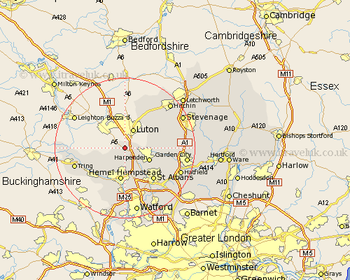
Hertfordshire Map Showing Location of Markyate
Population: 2812
Area Size (ha): 63
District: Dacorum
Easting: 506789 Northing: 216150
Latitude: 51.83 Longitude: -0.45
 = Markyate
Area Size (ha): 63
District: Dacorum
Easting: 506789 Northing: 216150
Latitude: 51.83 Longitude: -0.45
= Markyate
This Markyate map below is supplied by Google. Use the tools in the top left corner to zoom into street level or zoom out for a road map, you may also need to zoom in to see Markyate on the map. Click and drag the map to move around. If the map fails to load try and refresh your browser or zoom in or out (+ or -).
Update - it seems Google no longer allow people to use their maps for free! This Markyate map sometimes loads and sometimes gives a error. I am working on a solution.
Closest 30 Towns or Cities to Markyate (Population over 500)
Flamstead 2.17km Great Gaddesden 6.54km Redbourn 7.2km Little Gaddesden 7.81km Harpenden 7.81km Hemel Hempstead 9.33km Aldbury 10.96km Berkhampstead 11.54km Berkhamsted 11.54km Kimpton 11.6km Northchurch 11.78km Wheathampstead 12.04km Offley 12.25km Great Offley 12.25km Saint Albans 12.25km St. Albans 12.25km St Albans 12.25km Sandridge 12.7km Bovingdon 14.18km Wigginton 14.62km Kings Langley 14.82km Tring 14.83km Abbots Langley 15km Chipperfield 15km Codicote 15km Pirton 15.88km Welwyn 16.03km Sarratt 16.84km Hatfield 17.05km London Olney 17.31km