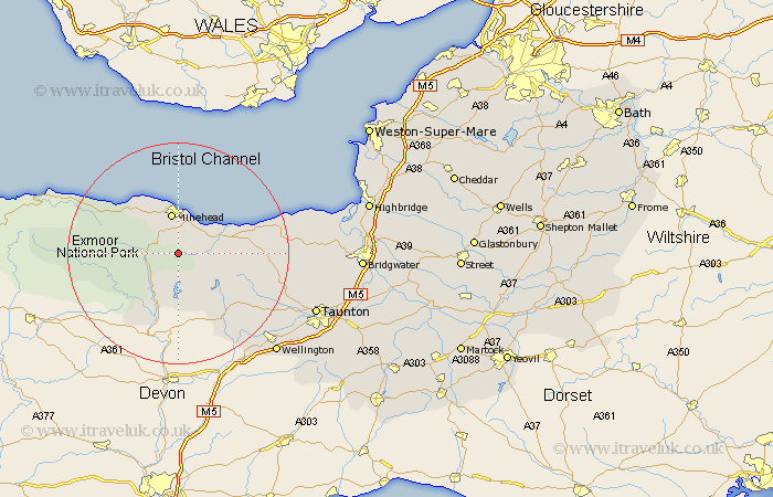
Somerset Map Showing Location of Luxborough
Population: 192
District: West Somerset
Easting: 297391 Northing: 138195
Latitude: 51.13 Longitude: -3.47
 = Luxborough
District: West Somerset
Easting: 297391 Northing: 138195
Latitude: 51.13 Longitude: -3.47
= Luxborough
This Luxborough map below is supplied by Google. Use the tools in the top left corner to zoom into street level or zoom out for a road map, you may also need to zoom in to see Luxborough on the map. Click and drag the map to move around. If the map fails to load try and refresh your browser or zoom in or out (+ or -).
Update - it seems Google no longer allow people to use their maps for free! This Luxborough map sometimes loads and sometimes gives a error. I am working on a solution.
Closest 30 Towns or Cities to Luxborough (Population over 500)
Carhampton 6.56km Williton 6.98km Minehead 7.51km Watchet 10.02km Dunster 11.01km Stogumber 11.63km Dulverton 12.55km Brushford 13.78km Wiveliscombe 15.28km Porlock 15.79km Milverton 19.93km Nether Stowey 21.01km Bishops Lydeard 21.13km Oake 22.7km Stogursey 23.9km Stokscourey 23.9km Stoke Courcy 23.9km Spaxton 24.5km Norton Fitzwarren 24.76km Wellington 25.47km Kingston 25.54km Taunton 26.86km West Buckland 27.12km Otterhampton 27.31km Trull 28.6km Durleigh 29.14km West Monkton 30.54km Pitminster 30.69km North Petherton 31.63km Bridgwater 32.62km