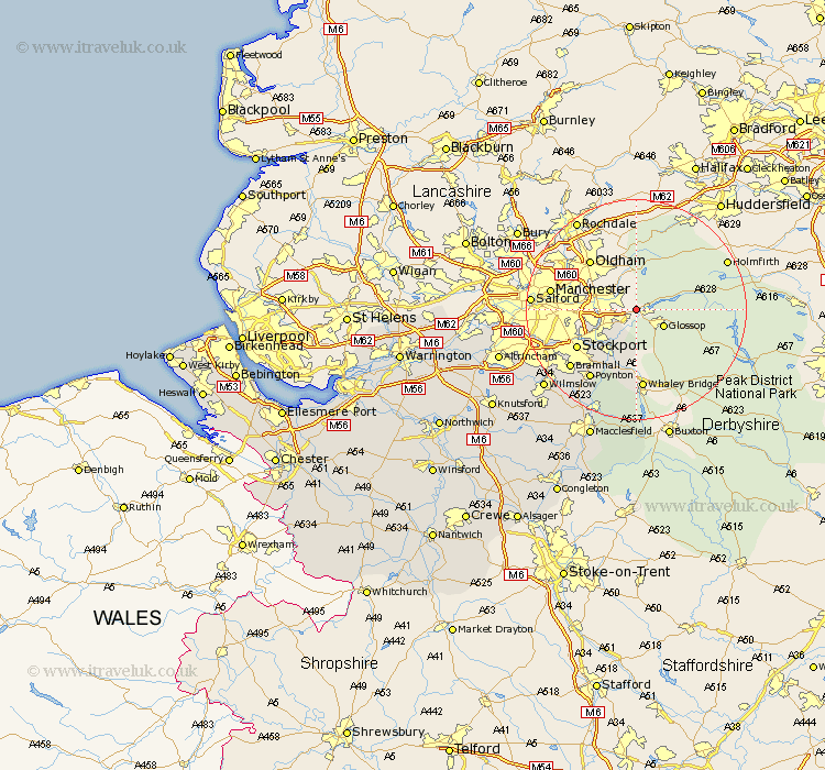
Cheshire Map Showing Location of Longdendale
Population: 10360
Area Size (ha): 206
District: Tameside
Easting: 400000 Northing: 396690
Latitude: 53.47 Longitude: -2
 = Longdendale
Area Size (ha): 206
District: Tameside
Easting: 400000 Northing: 396690
Latitude: 53.47 Longitude: -2
= Longdendale
This Longdendale map below is supplied by Google. Use the tools in the top left corner to zoom into street level or zoom out for a road map, you may also need to zoom in to see Longdendale on the map. Click and drag the map to move around. If the map fails to load try and refresh your browser or zoom in or out (+ or -).
Update - it seems Google no longer allow people to use their maps for free! This Longdendale map sometimes loads and sometimes gives a error. I am working on a solution.
Closest 30 Towns or Cities to Longdendale (Population over 500)
Stalybridge 4.78km Dukinfield 5.82km Hyde 5.82km Romiley 7.83km Marple 8.63km Bredbury 9.52km Disley 11.97km Hazel Grove 12.07km Stockport 12.4km Poynton 15.11km Bramhall 15.67km Cheadle 16.16km Adlington 18.88km Bollington 19.34km Sale 20.63km Rainow 20.87km Wilmslow 21.43km Prestburg 22.69km Prestbury 22.69km Alderley Edge 24.15km Altrincham 24.98km Macclesfield 25.31km Nether Alderley 25.6km Alderley 25.6km Bowdon 26.72km Mobberley 26.82km Partington 28.15km Chelford 28.42km Gawsworth 29.92km Knutsford 30.58km