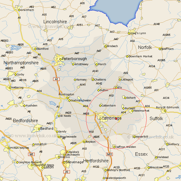
Cambridgeshire Map Showing Location of Little Wilbraham
Population: 394
District: South Cambridgeshire
Easting: 554888 Northing: 258218
Latitude: 52.2 Longitude: 0.27
 = Little Wilbraham
District: South Cambridgeshire
Easting: 554888 Northing: 258218
Latitude: 52.2 Longitude: 0.27
= Little Wilbraham
This Little Wilbraham map below is supplied by Google. Use the tools in the top left corner to zoom into street level or zoom out for a road map, you may also need to zoom in to see Little Wilbraham on the map. Click and drag the map to move around. If the map fails to load try and refresh your browser or zoom in or out (+ or -).
Update - it seems Google no longer allow people to use their maps for free! This Little Wilbraham map sometimes loads and sometimes gives a error. I am working on a solution.
Closest 30 Towns or Cities to Little Wilbraham (Population over 500)
Bottisham 1.86km Great Wilbraham 2.18km Wilbraham 2.18km Swaffham Bulbeck 3.87km Fulbourne 3.88km Fulbourn 3.88km Teversham 5.68km Swaffham Prior 6km Dullingham 6.81km Waterbeach 7.95km Balsham 8.16km Burwell 8.7km Milton 8.77km Stetchworth 9.09km Cambridge 10.22km Linton 11.12km Wicken 11.35km Sawston 11.5km Shelford 11.74km Whittlesford 12.21km Histon 12.64km Hauxton 12.65km Girton 13.03km Coton 13.63km Cheveley 13.75km Cottenham 13.79km Fordham 14.35km Harston 14.54km Ashley 14.88km Duxford 15.22km