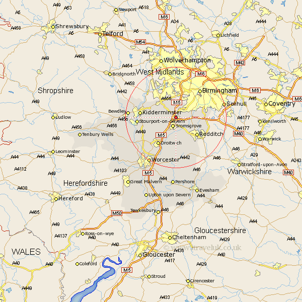
Worcestershire Map Showing Location of Lickey End
Population: 2764
District: Bromsgrove
Easting: 396595 Northing: 274338
Latitude: 52.37 Longitude: -2.05
 = Lickey End
District: Bromsgrove
Easting: 396595 Northing: 274338
Latitude: 52.37 Longitude: -2.05
= Lickey End
This Lickey End map below is supplied by Google. Use the tools in the top left corner to zoom into street level or zoom out for a road map, you may also need to zoom in to see Lickey End on the map. Click and drag the map to move around. If the map fails to load try and refresh your browser or zoom in or out (+ or -).
Update - it seems Google no longer allow people to use their maps for free! This Lickey End map sometimes loads and sometimes gives a error. I am working on a solution.
Closest 30 Towns or Cities to Lickey End (Population over 500)
Great Dodford 3.87km Dodford 3.87km Bromsgrove 3.88km Coston Hackett 4.53km Cofton Hackett 4.53km Barnt Green 4.89km Romsley 5.56km Belbroughton 5.85km Clent 7.17km Stoke Prior 7.5km Alvechurch 7.74km Chaddesley Corbett 8.14km Hagley 8.68km Halesowen 9.26km Stone 10.18km Churchill 10.62km Redditch 10.86km Radditch 10.86km Hanbury 11.12km Beoley 11.61km Stourbridge 12.47km Hartlebury 12.99km Droitwich 13.03km Netherton 13.16km Kidderminster 13.7km Feckenham 13.75km Stourport on Severn 14.83km Stourport-on-Severn 14.83km Stourport 14.83km Oldbury 14.99km