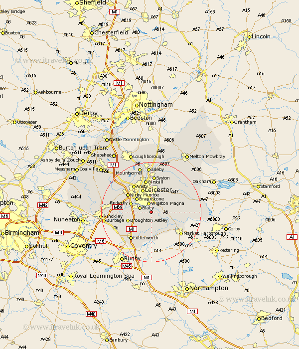
Leicestershire Map Showing Location of Kilby
Population: 273
District: Blaby
Easting: 462149 Northing: 295118
Latitude: 52.55 Longitude: -1.08
 = Kilby
District: Blaby
Easting: 462149 Northing: 295118
Latitude: 52.55 Longitude: -1.08
= Kilby
This Kilby map below is supplied by Google. Use the tools in the top left corner to zoom into street level or zoom out for a road map, you may also need to zoom in to see Kilby on the map. Click and drag the map to move around. If the map fails to load try and refresh your browser or zoom in or out (+ or -).
Update - it seems Google no longer allow people to use their maps for free! This Kilby map sometimes loads and sometimes gives a error. I am working on a solution.
Closest 30 Towns or Cities to Kilby (Population over 500)
Glen Parka 2.92km Glen Parva 2.92km Countesthorpe 3.38km Oadby 3.7km Great Glen 3.86km Wigston Magna 3.87km Wigston 3.87km Blaby 4.87km Cosby 6.76km Whetstone 7.01km Kibworth Harcourt 7.01km Kibworth 7.01km Braunstone 7.91km Narborough 8.1km Enderby 8.71km Walton-in-Knaptoft 9.53km Walton 9.53km Broughton Astley 9.75km Leicester 9.86km Leiscester 9.86km Houghton on the Hill 10.03km Houghton 10.03km Houghton-on-the-Hill 10.03km Croft 10.14km Gilmarton 10.3km Gilmorton 10.3km Husbands Bosworth 11.35km Billesdon 11.56km Kirby Muxloe 11.67km Stoney Stanton 12.54km