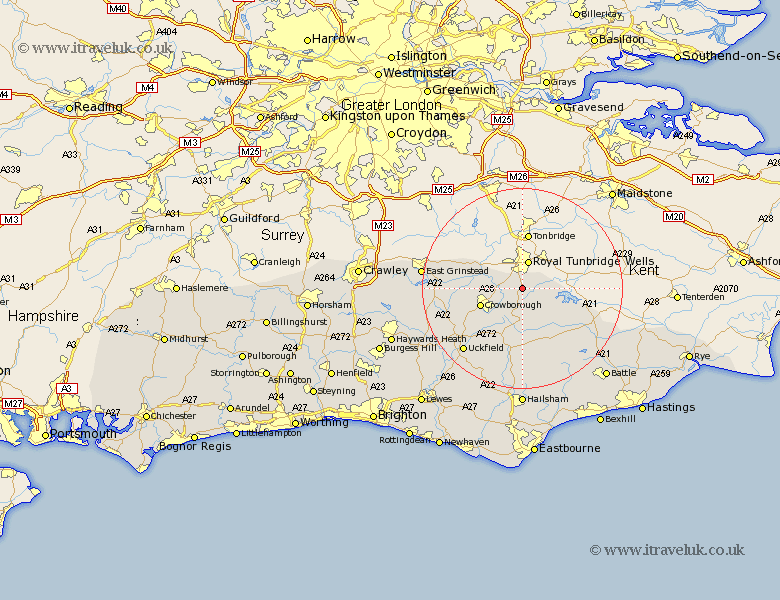
Sussex Map Showing Location of Frant
Population: 1337
District: Wealden
Easting: 558742 Northing: 134056
Latitude: 51.08 Longitude: 0.27
 = Frant
District: Wealden
Easting: 558742 Northing: 134056
Latitude: 51.08 Longitude: 0.27
= Frant
This Frant map below is supplied by Google. Use the tools in the top left corner to zoom into street level or zoom out for a road map, you may also need to zoom in to see Frant on the map. Click and drag the map to move around. If the map fails to load try and refresh your browser or zoom in or out (+ or -).
Update - it seems Google no longer allow people to use their maps for free! This Frant map sometimes loads and sometimes gives a error. I am working on a solution.
Closest 30 Towns or Cities to Frant (Population over 500)
Wadhurst 5.95km Rotherfield 6.57km Crowborough 8.95km Withyham 9.31km Mayfield 9.34km Hartfield 10.48km Ticehurst 11.87km Burwash 12.34km Hadlow Down 12.55km Buxted 14.51km Heathfield 14.82km Etchingham 14.88km Warbleton 16.72km Hurst Green 16.77km Maresfield 16.97km Uckfield 17.44km Framfield 17.51km Robertsbridge 17.87km Horeham 18.56km Horam 18.56km Fletching 19.75km East Hoathly 19.8km East Grinstead 20.13km Forest Row 20.96km Horsted Keynes 21.15km Chiddingly 21.2km Newick 21.77km Isfield 21.77km Mountfield 21.77km Herstmonceux 22.72km