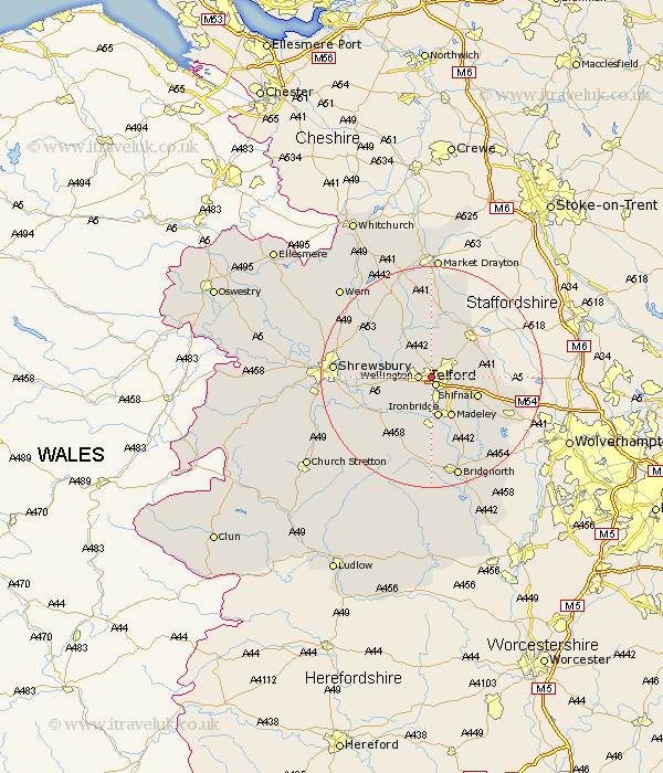
Shropshire Map Showing Location of Ketley
Population: 3476
Easting: 367342 Northing: 311517
Latitude: 52.7 Longitude: -2.48
 = Ketley
Easting: 367342 Northing: 311517
Latitude: 52.7 Longitude: -2.48
= Ketley
This Ketley map below is supplied by Google. Use the tools in the top left corner to zoom into street level or zoom out for a road map, you may also need to zoom in to see Ketley on the map. Click and drag the map to move around. If the map fails to load try and refresh your browser or zoom in or out (+ or -).
Update - it seems Google no longer allow people to use their maps for free! This Ketley map sometimes loads and sometimes gives a error. I am working on a solution.
Closest 30 Towns or Cities to Ketley (Population over 500)
Telford 1.65km Trench 2.17km Wellington 2.25km Oakengates 3.37km Downington 3.85km Donnington 3.85km Dawley 3.87km Wrockwardine 5.62km Lilleshall 6.72km Cherrington 7.5km Ironbridge 7.5km Madeley 8.15km Edgmond 8.67km Shifnal 8.69km Broseley 9.26km High Ercall 9.63km Ercall Magna 9.63km Rodington 9.71km Woodcote 10.76km Chetwynd 10.83km Barrow Bridge 11.18km Barrow 11.18km Newport 11.45km Cressage 11.66km Much Wenlock 11.99km Shawbury 14.55km Hinstock 14.99km Berrington 15.63km Albrighton 16.39km Shrewsbury 16.94km