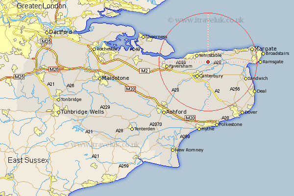
Kent Map Showing Location of Herne
District: Canterbury
Easting: 618240 Northing: 164073
Latitude: 51.33 Longitude: 1.13
 = Herne
Easting: 618240 Northing: 164073
Latitude: 51.33 Longitude: 1.13
= Herne
This Herne map below is supplied by Google. Use the tools in the top left corner to zoom into street level or zoom out for a road map, you may also need to zoom in to see Herne on the map. Click and drag the map to move around. If the map fails to load try and refresh your browser or zoom in or out (+ or -).
Update - it seems Google no longer allow people to use their maps for free! This Herne map sometimes loads and sometimes gives a error. I am working on a solution.
Closest 30 Towns or Cities to Herne (Population over 500)
Hoath 2.32km Broomfield 2.32km Herne Bay 3.71km Chislet 4.63km Chestfield 4.99km Whitstable 5.22km Sturry 5.68km Hackington 6.56km Blean 6.87km Canterbury 7.55km Littlebourne 7.76km Preston 7.87km St. Nicholas at Wade 8.31km Saint Nicholas at Wade 8.31km St Nicholas at Wade 8.31km Harbledown 8.9km Wingham 9.4km Monkton 10.42km Bridge 11.18km Dunkirk 11.82km Lower Hardres 12.05km Birchington 12.16km Chartham 12.31km Staple 12.31km Minster 12.87km Petham 14.2km Chilham 16.06km Eastry 16.06km Manston 16.31km Faversham 16.32km