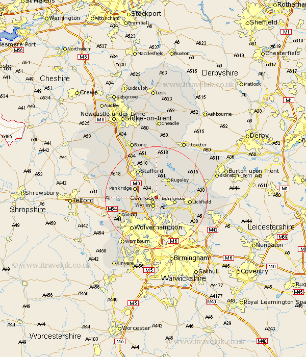
Staffordshire Map Showing Location of Hednesford
Population: 16598
District: Cannock Chase
Easting: 400000 Northing: 311407
Latitude: 52.7 Longitude: -2
 = Hednesford
District: Cannock Chase
Easting: 400000 Northing: 311407
Latitude: 52.7 Longitude: -2
= Hednesford
This Hednesford map below is supplied by Google. Use the tools in the top left corner to zoom into street level or zoom out for a road map, you may also need to zoom in to see Hednesford on the map. Click and drag the map to move around. If the map fails to load try and refresh your browser or zoom in or out (+ or -).
Update - it seems Google no longer allow people to use their maps for free! This Hednesford map sometimes loads and sometimes gives a error. I am working on a solution.
Closest 30 Towns or Cities to Hednesford (Population over 500)
Hednesford 0km Cannock 2.17km Huntington 2.25km Norton Canes 2.91km Wyrley 3.59km Great Wyrley 3.59km Shareshill 6.73km Burntwood 6.99km Longdon 8.08km Rugeley 8.67km Bednall 8.67km Brownhills 8.67km Armitage 8.69km Penkridge 8.69km Colton 9.3km Colwich 9.33km Hammerwich 9.63km Pelsall 9.86km Walsall 11.12km Wallsall 11.12km Brewood 11.39km Rushall 11.62km Aldridge 12.46km Lichfield 12.49km Stafford 13km Shenstone 13.47km Wheaton Aston 14.72km Weston upon Trent 14.87km Weston 14.87km Abbots Bromley 15.16km