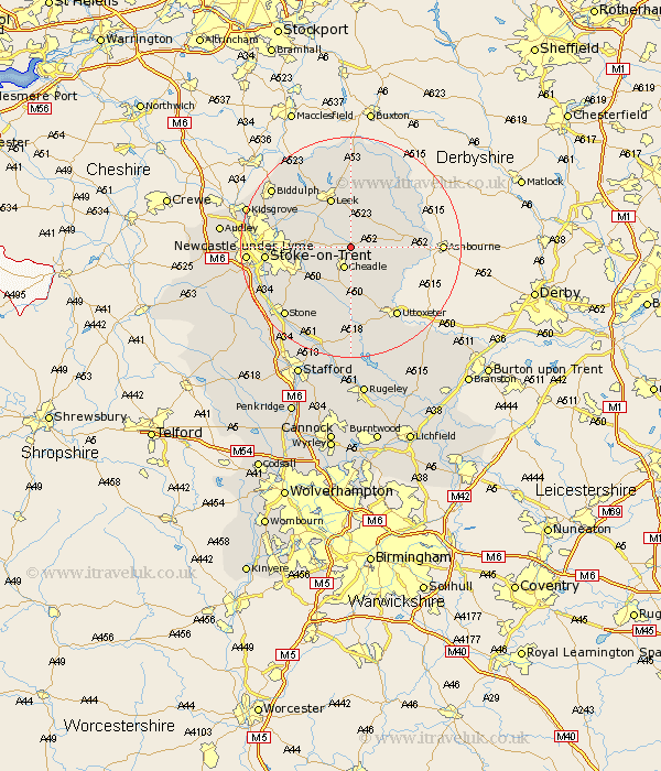
Staffordshire Map Showing Location of Froghall
District: Staffordshire Moorlands
Easting: 402235 Northing: 346630
Latitude: 53.02 Longitude: -1.97
 = Froghall
Easting: 402235 Northing: 346630
Latitude: 53.02 Longitude: -1.97
= Froghall
This Froghall map below is supplied by Google. Use the tools in the top left corner to zoom into street level or zoom out for a road map, you may also need to zoom in to see Froghall on the map. Click and drag the map to move around. If the map fails to load try and refresh your browser or zoom in or out (+ or -).
Update - it seems Google no longer allow people to use their maps for free! This Froghall map sometimes loads and sometimes gives a error. I am working on a solution.
Closest 30 Towns or Cities to Froghall (Population over 500)
Kingsley 1.11km Ipstones 1.85km Oakamoor 3.82km Cheadle 3.87km Cheddleton 5.8km Waterhouses 6.94km Draycott in the Moors 7.13km Draycott 7.13km Caverswall 7.65km Alton 7.87km Checkley 9.34km Denstone 9.58km Denston 9.58km Leek 9.85km Fulford 9.99km Church Leigh 11.12km Leigh 11.12km Rocester 11.6km Endon 12.47km Mayfield 13.51km Horton 13.58km Hilderstone 13.59km Stoke-on-Trent 14.61km Stoke on Trent 14.61km Stoke-upon-Trent 14.61km Stoke 14.61km Stoke upon Trent 14.61km Uttoxeter 15.14km Barlaston 15.3km Stone 17.11km