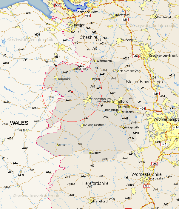
Shropshire Map Showing Location of Great Ness
Population: 807
District: Shrewsbury and Atcham
Easting: 339282 Northing: 319206
Latitude: 52.77 Longitude: -2.9
 = Great Ness
District: Shrewsbury and Atcham
Easting: 339282 Northing: 319206
Latitude: 52.77 Longitude: -2.9
= Great Ness
This Great Ness map below is supplied by Google. Use the tools in the top left corner to zoom into street level or zoom out for a road map, you may also need to zoom in to see Great Ness on the map. Click and drag the map to move around. If the map fails to load try and refresh your browser or zoom in or out (+ or -).
Update - it seems Google no longer allow people to use their maps for free! This Great Ness map sometimes loads and sometimes gives a error. I am working on a solution.
Closest 30 Towns or Cities to Great Ness (Population over 500)
Baschurch 2.9km Kinnerley 5.9km Alberbury 6.5km Ford 6.5km Bicton 6.73km West Felton 7.89km Cockshutt 9.85km Cockshut 9.85km Westbury 9.87km Great Hanwood 10.84km Hanwood 10.84km Pant 11.36km Hadnall 12.33km Shrewsbury 12.52km Oswestry 12.89km Whittington 12.99km Pontesbury 13.03km Loppington 13.61km Saint Martins 14.22km St Martins 14.22km St. Martins 14.22km Minsterley 15km Baystonhill 15.02km Welshampton 15.2km Wem 15.42km Gobowen 15.76km Llanyblodwel 15.8km Condover 16.45km Ellesmere 16.72km Shawbury 16.92km