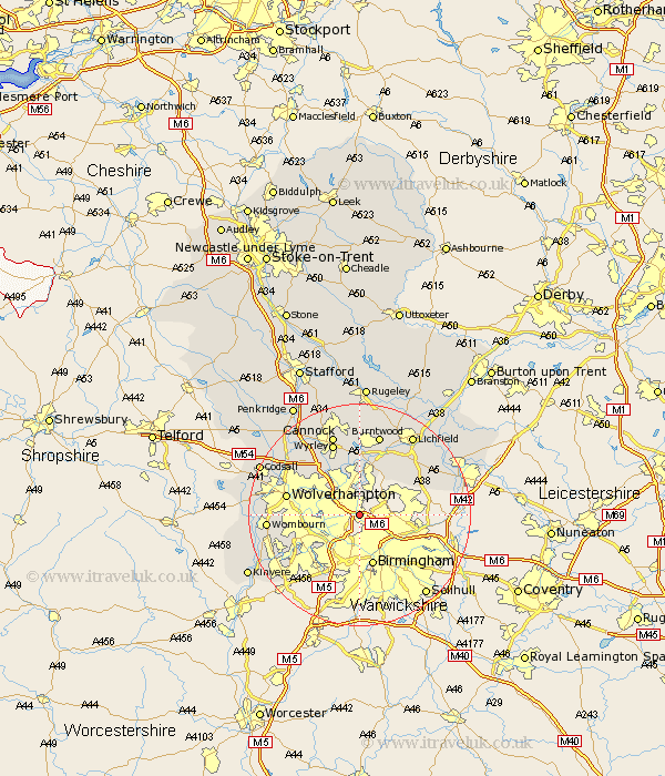
Staffordshire Map Showing Location of Great Barr
District: Sandwell
Easting: 403389 Northing: 294725
Latitude: 52.55 Longitude: -1.95
 = Great Barr
Easting: 403389 Northing: 294725
Latitude: 52.55 Longitude: -1.95
= Great Barr
This Great Barr map below is supplied by Google. Use the tools in the top left corner to zoom into street level or zoom out for a road map, you may also need to zoom in to see Great Barr on the map. Click and drag the map to move around. If the map fails to load try and refresh your browser or zoom in or out (+ or -).
Update - it seems Google no longer allow people to use their maps for free! This Great Barr map sometimes loads and sometimes gives a error. I am working on a solution.
Closest 30 Towns or Cities to Great Barr (Population over 500)
West Bromwich 5.01km Rushall 5.56km Aldridge 6km Walsall 6.51km Wallsall 6.51km Smethwick 6.51km Pelsall 7.42km Bilston 8.1km Brownhills 9.33km Dudley 10.6km Hammerwich 12km Shenstone 12.16km Wolverhampton 12.93km Great Wyrley 14.01km Wyrley 14.01km Himley 14.03km Norton Canes 14.86km Burntwood 15.2km Cannock 15.49km Shareshill 15.79km Wombourn 15.89km Wombourne 15.89km Drayton Bassett 16.72km Lower Penn 17km Hednesford 17.02km Lichfield 17.34km Huntington 17.6km Fazeley 18.45km Longdon 19.07km Codsall 19.26km