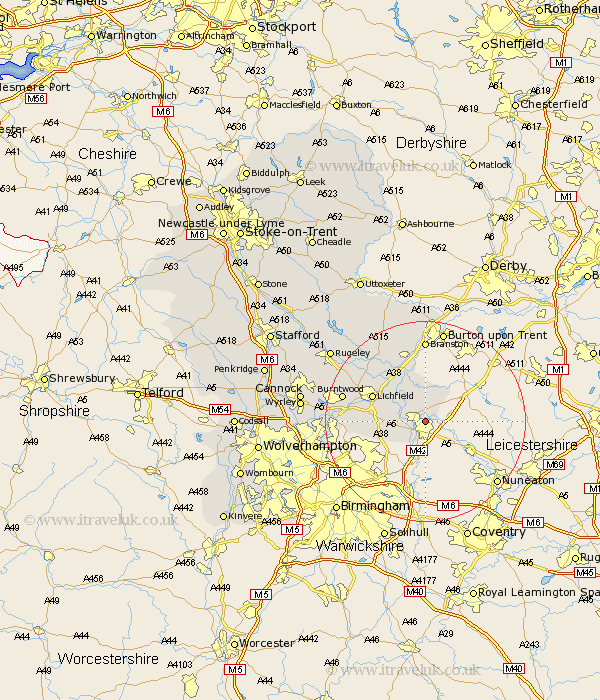
Staffordshire Map Showing Location of Glascote
District: Tamworth
Easting: 422556 Northing: 304040
Latitude: 52.63 Longitude: -1.67
 = Glascote
Easting: 422556 Northing: 304040
Latitude: 52.63 Longitude: -1.67
= Glascote
This Glascote map below is supplied by Google. Use the tools in the top left corner to zoom into street level or zoom out for a road map, you may also need to zoom in to see Glascote on the map. Click and drag the map to move around. If the map fails to load try and refresh your browser or zoom in or out (+ or -).
Update - it seems Google no longer allow people to use their maps for free! This Glascote map sometimes loads and sometimes gives a error. I am working on a solution.
Closest 30 Towns or Cities to Glascote (Population over 500)
Tamworth 2.16km Wigginton 2.17km Fazeley 2.91km Drayton Bassett 5.01km Elford 6.5km Clifton Campville 6.5km Edingale 7.5km Whittington 8.74km Alrewas 10.31km Shenstone 11.25km Lichfield 11.54km Hammerwich 14.74km Yoxall 15.17km Branston 16.68km Burntwood 16.69km Tatenhill 16.83km Aldridge 17.28km Longdon 17.3km Brownhills 18km Armitage 18.36km Pelsall 19.21km Rushall 19.48km Anslow 20.42km Norton Canes 20.98km Rolleston 22.27km Colton 22.45km Hanbury 22.69km Walsall 22.81km Wallsall 22.81km Rugeley 23.3km