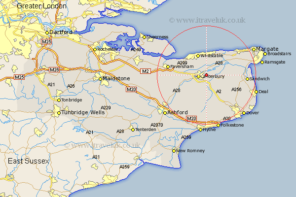
Kent Map Showing Location of Fordwich
Population: 351
District: Canterbury
Easting: 617316 Northing: 158465
Latitude: 51.28 Longitude: 1.12
 = Fordwich
District: Canterbury
Easting: 617316 Northing: 158465
Latitude: 51.28 Longitude: 1.12
= Fordwich
This Fordwich map below is supplied by Google. Use the tools in the top left corner to zoom into street level or zoom out for a road map, you may also need to zoom in to see Fordwich on the map. Click and drag the map to move around. If the map fails to load try and refresh your browser or zoom in or out (+ or -).
Update - it seems Google no longer allow people to use their maps for free! This Fordwich map sometimes loads and sometimes gives a error. I am working on a solution.
Closest 30 Towns or Cities to Fordwich (Population over 500)
Hackington 2.32km Canterbury 3.1km Littlebourne 3.94km Blean 4.99km Bridge 5.56km Harbledown 5.8km Hoath 6.56km Lower Hardres 6.56km Wingham 7.2km Chartham 7.88km Broomfield 7.92km Chislet 8.03km Chestfield 8.19km Preston 8.32km Petham 8.74km Whitstable 8.99km Dunkirk 9.27km Herne Bay 9.35km Staple 9.99km Stelling 11.65km Chilham 11.83km St Nicholas at Wade 11.87km Saint Nicholas at Wade 11.87km St. Nicholas at Wade 11.87km Monkton 12.85km Sibertswold 13.77km Shepherdswell 13.77km Eastry 13.92km Selling 14.03km Minster 14.39km