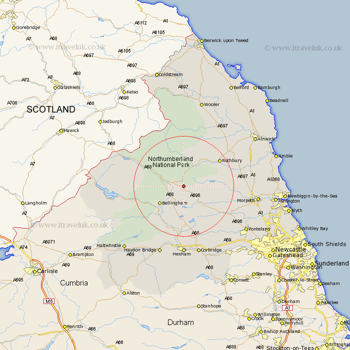
Northumberland Map Showing Location of Elsdon
Population: 205
District: Alnwick
Easting: 393638 Northing: 591394
Latitude: 55.22 Longitude: -2.1
 = Elsdon
District: Alnwick
Easting: 393638 Northing: 591394
Latitude: 55.22 Longitude: -2.1
= Elsdon
This Elsdon map below is supplied by Google. Use the tools in the top left corner to zoom into street level or zoom out for a road map, you may also need to zoom in to see Elsdon on the map. Click and drag the map to move around. If the map fails to load try and refresh your browser or zoom in or out (+ or -).
Update - it seems Google no longer allow people to use their maps for free! This Elsdon map sometimes loads and sometimes gives a error. I am working on a solution.
Closest 30 Towns or Cities to Elsdon (Population over 500)
Otterburn 4.23km Bellingham 11.25km Rothbury 16.86km Wark 18.25km Challerton 20.39km Chollerton 20.39km Humshaugh 20.5km Longhorsley 21.22km Longframlington 21.39km Newbrough 24.67km Swarland 25.01km Stamfordham 25.22km Acomb 25.95km Warden 26.04km Sandhoe 26.15km Felton 26.41km Hebron 26.7km Morpeth 27.02km East Thirston 27.43km Thirston 27.43km Hexham 27.8km Corbridge 28.3km Ponteland 28.96km Haydon Bridge 29.06km Hepscott 29.52km Pegswood 30.14km Stannington 30.43km Shilbottle 31.21km Ovingham 31.52km Wylam 32.03km