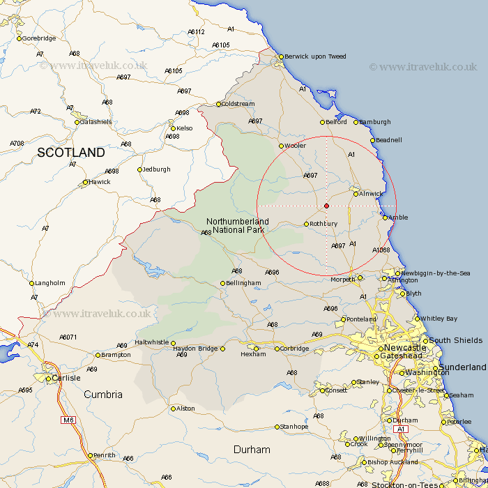
Northumberland Map Showing Location of Edlingham
Population: 196
District: Alnwick
Easting: 411619 Northing: 608096
Latitude: 55.37 Longitude: -1.82
 = Edlingham
District: Alnwick
Easting: 411619 Northing: 608096
Latitude: 55.37 Longitude: -1.82
= Edlingham
This Edlingham map below is supplied by Google. Use the tools in the top left corner to zoom into street level or zoom out for a road map, you may also need to zoom in to see Edlingham on the map. Click and drag the map to move around. If the map fails to load try and refresh your browser or zoom in or out (+ or -).
Update - it seems Google no longer allow people to use their maps for free! This Edlingham map sometimes loads and sometimes gives a error. I am working on a solution.
Closest 30 Towns or Cities to Edlingham (Population over 500)
Rothbury 7.66km Alnwick 8.25km Almwick 8.25km Shilbottle 8.43km Swarland 9.1km Longframlington 9.51km Felton 11.85km Thirston 12.54km East Thirston 12.54km Lesbury 12.77km Lisburg 12.77km Warkworth 12.78km Alnmouth 14.18km Longhorsley 15.17km Amble 15.21km East Chevington 17.43km Embleton 18.09km Wooler 21.84km Hebron 22.07km Ellington 22.99km Beadnell 23.43km Morpeth 23.79km North Sunderland 24.17km Lynemouth 24.35km Pegswood 25.09km Belford 25.96km Hepscott 26.31km Ashington 26.86km Newbiggin-by-the-Sea 27.69km Newbiggin by the Sea 27.69km