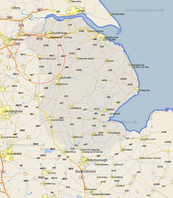
Lincolnshire Map Showing Location of Gainesborough
Population: 19445
Area Size (ha): 536
District: West Lindsey
Easting: 482024 Northing: 388121
Latitude: 53.38 Longitude: -0.77
 = Gainesborough
Area Size (ha): 536
District: West Lindsey
Easting: 482024 Northing: 388121
Latitude: 53.38 Longitude: -0.77
= Gainesborough
This Gainesborough map below is supplied by Google. Use the tools in the top left corner to zoom into street level or zoom out for a road map, you may also need to zoom in to see Gainesborough on the map. Click and drag the map to move around. If the map fails to load try and refresh your browser or zoom in or out (+ or -).
Update - it seems Google no longer allow people to use their maps for free! This Gainesborough map sometimes loads and sometimes gives a error. I am working on a solution.
Closest 30 Towns or Cities to Gainesborough (Population over 500)
Lea 2.15km Morton 2.16km Blyton 6.47km Willingham 6.65km Marton 7.73km Owston Ferry 11.12km Owston 11.12km Torksey 11.34km Haxey 11.96km Scotton 12.07km Scotter 12.94km Ingham 13.38km Kirton in Lindsey 14.42km Kirton 14.42km Saxilby 15.1km Epworth 15.2km Scrampton 16.19km Scampton 16.19km Waddingham 18.15km Messingham 18.38km West Butterwick 18.57km Belton 18.83km Skellingthorpe 19.43km Bottesford 20.08km Hibaldstow 20.18km Burringham 20.42km North Scarle 20.5km Welton 20.97km Dunholm 21.96km Dunholme 21.96km