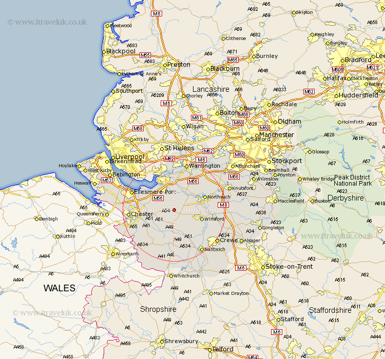
Cheshire Map Showing Location of Delamere
Population: 1028
District: Vale Royal
Easting: 355488 Northing: 369088
Latitude: 53.22 Longitude: -2.67
 = Delamere
District: Vale Royal
Easting: 355488 Northing: 369088
Latitude: 53.22 Longitude: -2.67
= Delamere
This Delamere map below is supplied by Google. Use the tools in the top left corner to zoom into street level or zoom out for a road map, you may also need to zoom in to see Delamere on the map. Click and drag the map to move around. If the map fails to load try and refresh your browser or zoom in or out (+ or -).
Update - it seems Google no longer allow people to use their maps for free! This Delamere map sometimes loads and sometimes gives a error. I am working on a solution.
Closest 30 Towns or Cities to Delamere (Population over 500)
Kelshall Hill 1.11km Kelsall 1.11km Kelsall Hill 1.11km Ashton 4.44km Cuddington 4.81km Kingsley 5.56km Little Budworth 5.79km Weaverham 6.67km Tarvin 6.91km Acton 7.11km Tarporley 7.42km Whitegate 7.77km Hartford 7.98km Helsby 8.67km Great Barrow 9.07km Barrow 9.07km Dunham 9.62km Dunham-on-the-Hill 9.62km Dunham on the Hill 9.62km Mickle Trafford 9.99km Davenham 10.15km Frodsham 10.27km Anderton 10.47km Waverton 10.48km Elton 10.65km Winsford 10.66km Preston-on-the-Hill 11.17km Preston on the Hill 11.17km Preston Brook 11.17km Bunbury 11.18km