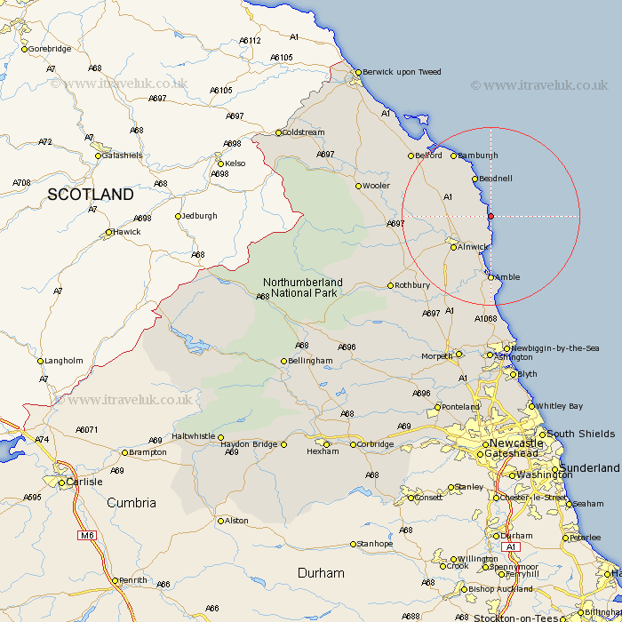
Northumberland Map Showing Location of Craster
Population: 342
District: Alnwick
Easting: 426340 Northing: 619287
Latitude: 55.47 Longitude: -1.58
 = Craster
District: Alnwick
Easting: 426340 Northing: 619287
Latitude: 55.47 Longitude: -1.58
= Craster
This Craster map below is supplied by Google. Use the tools in the top left corner to zoom into street level or zoom out for a road map, you may also need to zoom in to see Craster on the map. Click and drag the map to move around. If the map fails to load try and refresh your browser or zoom in or out (+ or -).
Update - it seems Google no longer allow people to use their maps for free! This Craster map sometimes loads and sometimes gives a error. I am working on a solution.
Closest 30 Towns or Cities to Craster (Population over 500)
Embleton 2.8km Alnmouth 7.49km Lisburg 9.51km Lesbury 9.51km Beadnell 9.78km Alnwick 10.45km Almwick 10.45km North Sunderland 12.3km Shilbottle 12.79km Warkworth 13.15km Amble 14.83km East Chevington 20.39km Swarland 20.82km East Thirston 21.35km Thirston 21.35km Belford 21.61km Felton 21.68km Longframlington 23.99km Rothbury 26.04km Wooler 27.27km Ellington 27.82km Lynemouth 28.32km Longhorsley 28.42km Lowick 30.41km Hebron 32.14km Newbiggin-by-the-Sea 32.35km Newbiggin by the Sea 32.35km Pegswood 33.51km Ashington 33.67km Morpeth 33.95km