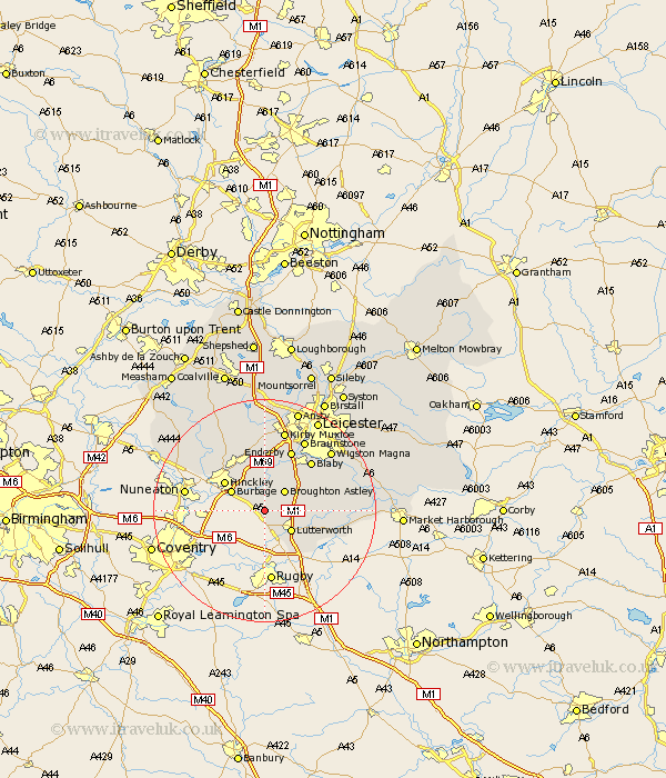
Leicestershire Map Showing Location of Claybrooke Parva
Population: 578
District: Harborough
Easting: 449794 Northing: 287558
Latitude: 52.48 Longitude: -1.27
 = Claybrooke Parva
District: Harborough
Easting: 449794 Northing: 287558
Latitude: 52.48 Longitude: -1.27
= Claybrooke Parva
This Claybrooke Parva map below is supplied by Google. Use the tools in the top left corner to zoom into street level or zoom out for a road map, you may also need to zoom in to see Claybrooke Parva on the map. Click and drag the map to move around. If the map fails to load try and refresh your browser or zoom in or out (+ or -).
Update - it seems Google no longer allow people to use their maps for free! This Claybrooke Parva map sometimes loads and sometimes gives a error. I am working on a solution.
Closest 30 Towns or Cities to Claybrooke Parva (Population over 500)
Ullesthorpe 2.16km Sapcote 3.71km Sharnford 3.88km Broughton Astley 5.02km Stoney Stanton 5.56km Lutterworth 5.84km Burbage 6.75km Elmesthorpe 7.75km Elmsthorpe 7.75km Croft 7.75km Gilmarton 8.12km Gilmorton 8.12km Hinckley 8.76km Cosby 9.32km Narborough 10.31km Walton-in-Knaptoft 10.33km Walton 10.33km Whetstone 10.85km Countesthorpe 11.68km Enderby 12km Blaby 12.18km Stoke Golding 12.94km Higham-on-the-Hill 13.5km Higham on the Hill 13.5km Glen Parva 13.75km Glen Parka 13.75km Braunstone 14.63km Desford 14.88km Husbands Bosworth 15.14km Kirby Muxloe 15.21km