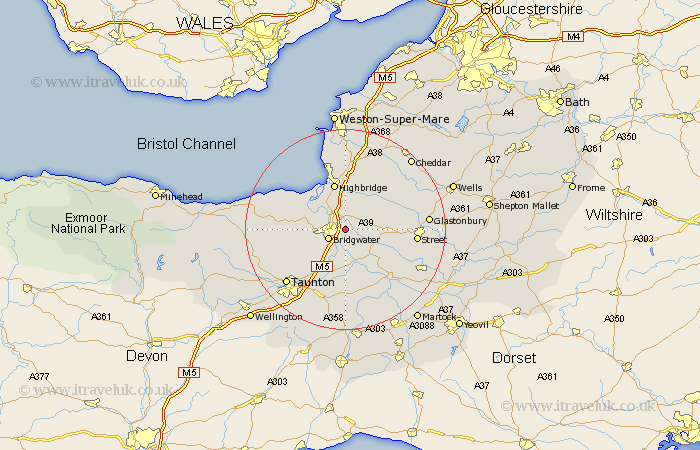
Somerset Map Showing Location of Chedzoy
Population: 429
District: Sedgemoor
Easting: 333537 Northing: 137601
Latitude: 51.13 Longitude: -2.95
 = Chedzoy
District: Sedgemoor
Easting: 333537 Northing: 137601
Latitude: 51.13 Longitude: -2.95
= Chedzoy
This Chedzoy map below is supplied by Google. Use the tools in the top left corner to zoom into street level or zoom out for a road map, you may also need to zoom in to see Chedzoy on the map. Click and drag the map to move around. If the map fails to load try and refresh your browser or zoom in or out (+ or -).
Update - it seems Google no longer allow people to use their maps for free! This Chedzoy map sometimes loads and sometimes gives a error. I am working on a solution.
Closest 30 Towns or Cities to Chedzoy (Population over 500)
Weston Zoyland 2.18km Cossington 2.97km Puriton 3.89km Bridgewater 3.95km Bridgwater 3.95km Middlezoy 5.09km North Petherton 5.95km Pawlett 6.56km Durleigh 7.22km Othery 7.25km Huntspill 7.77km Shapwick 8.14km Highbridge 9.56km Mark 9.91km Ashcott 10.47km Otterhampton 10.83km Stoke St Gregory 11.18km Stoke St. Gregory 11.18km Stoke Saint Gregory 11.18km West Monkton 11.6km Burnham-on-Sea 11.65km Burnham 11.65km Burnham on Sea 11.65km Spaxton 11.78km High Ham 11.9km Meare 12.2km Walton 12.93km North Curry 13.02km Brent Knoll 13.03km Wedmore 13.13km