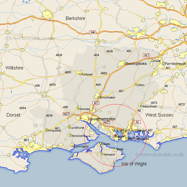
Hampshire Map Showing Location of Lower Bridgemary
District: Gosport
Easting: 458698 Northing: 102299
Latitude: 50.82 Longitude: -1.17
 = Lower Bridgemary
Easting: 458698 Northing: 102299
Latitude: 50.82 Longitude: -1.17
= Lower Bridgemary
This Lower Bridgemary map below is supplied by Google. Use the tools in the top left corner to zoom into street level or zoom out for a road map, you may also need to zoom in to see Lower Bridgemary on the map. Click and drag the map to move around. If the map fails to load try and refresh your browser or zoom in or out (+ or -).
Update - it seems Google no longer allow people to use their maps for free! This Lower Bridgemary map sometimes loads and sometimes gives a error. I am working on a solution.
Closest 30 Towns or Cities to Lower Bridgemary (Population over 500)
Lee-on-the-Solent 2.99km Lee-on-Solent 2.99km Lee on Solent 2.99km Lee on the Solent 2.99km Gosport 2.99km Fareham 3.88km Porchester 3.97km Portchester 3.97km Southwick 6.58km Portsmouth 7.46km Southsea 7.95km Wickham 9.26km Ryde 9.27km Locks Heath 10.75km Bursledon 10.89km Cowes 10.9km Hample 11.17km Hamble 11.17km Shidfield 11.18km Shedfield 11.18km Waltham Chase 11.36km Waterloo 11.91km Waterlooville 11.91km East Cowes 11.95km Wootton 12.07km Seaview 12.07km Curbridge 12.56km Curdridge 12.56km Fawley 12.88km Gurnard 12.89km