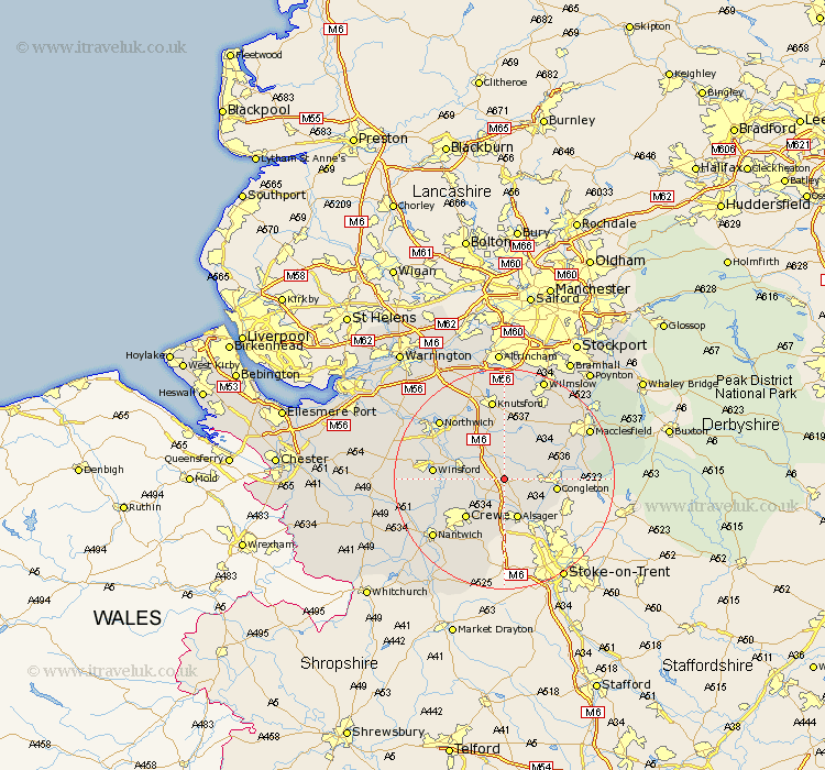
Cheshire Map Showing Location of Brereton
Population: 1012
District: Congleton
Easting: 377718 Northing: 363370
Latitude: 53.17 Longitude: -2.33
 = Brereton
District: Congleton
Easting: 377718 Northing: 363370
Latitude: 53.17 Longitude: -2.33
= Brereton
This Brereton map below is supplied by Google. Use the tools in the top left corner to zoom into street level or zoom out for a road map, you may also need to zoom in to see Brereton on the map. Click and drag the map to move around. If the map fails to load try and refresh your browser or zoom in or out (+ or -).
Update - it seems Google no longer allow people to use their maps for free! This Brereton map sometimes loads and sometimes gives a error. I am working on a solution.
Closest 30 Towns or Cities to Brereton (Population over 500)
Holmes Chapel 4.32km Sandbach 4.33km Rode Heath 6.48km Middlewich 6.92km Middlewick 6.92km Goostrey 7.41km Alsager 7.74km Congleton 9.08km Peover Superior 9.33km Peover 9.33km Crewe 9.97km Chelford 11.97km Winsford 12.36km Gawsworth 12.42km Plumbley 12.43km Plumley Station 12.43km Wistaston 12.85km Lostock Gralam 14.23km Davenham 14.28km Nether Alderley 14.57km Alderley 14.57km Willaston 14.96km Knutsford 14.99km Whitegate 15.47km Northwich 15.71km Marston 15.71km Northwick 15.71km Hartford 16.22km Alderley Edge 16.25km Nantwich 16.53km